Old Maps of Shoemaker, New Mexico for Academic Research
Study the evolution of Shoemaker with 11 high-resolution historic maps. Whether you're teaching, researching, or modeling changes in land use, these maps provide essential visual documentation of urban, environmental, and geographic change.
- Analyze long-term change: Track patterns in development, transportation, and natural features.
- Ideal for environmental or urban studies: Support academic projects with primary historical map data.
- Use in the classroom or lab: Educators and researchers rely on these maps to bring historical context to life.
These maps are a powerful tool for teaching, research, and visualizing how Shoemaker has changed over the decades.
Shoemaker, NM maps
(11)- 1892 Map of Watrous
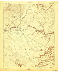 1892 Watrous1892 Print · USGSNortheastern New Mexico comes into focus during the expansion of the western frontier, showing the critical junction of the railroad and the river. Trace nineteenth-century ranching life and travel stops at Watrous, the O. K. Ranch, and a remote Blacksmith Shop.
 - 1894 Map of Watrous
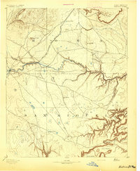 1894 Watrous1894 Print · USGSNorthern New Mexico at the end of the nineteenth century was a landscape of pioneering rail lines and cattle ranches. You can trace the Atchison Topeka and Santa Fe Railroad as it services Watrous and Shoemaker or locate the remote O.K. Ranch.5 unique versions available
 - 1954 Map of Santa Fe, 1963 Print
 1954 Santa Fe1963 Print · USGSNew Mexico's high mountains and eastern plains meet in the mid-fifties, showing a landscape defined by the Sangre de Cristo Mountains and the Pecos River. Trace family roots and local history through San Christobal Church, Sena School, and the historic Las Vegas rail corridor.4 unique versions available
 - 1958 Map of Santa Fe
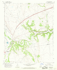
 1958 Santa Fe1958 Print · USGSThe Sangre De Cristo Mountains meet the high plains in the late 1950s, showing a landscape defined by rail corridors and ranching. Genealogists can trace family-named sites like Upton Ranch or visit the Fort Union (Ruins) and Tuloso School.
 - 1966 Map of Watrous, 1968 Print
 1966 Watrous1968 Print · USGSWatrous and the Mora River valley are shown in the mid-1960s at the intersection of historic western transit and modern infrastructure. Trace the path of the Santa Fe Trail and locate family landmarks like the Tiptonville Cem and the John Scolly grant.
 - 1981 Map of Roy, 1982 Print
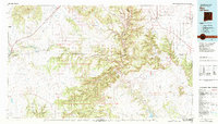 1981 Roy1982 Print · USGSNortheastern New Mexico's ranching and volcanic landscapes are documented here in the early eighties. Researchers can trace the Santa Fe Trail, locate the historic Fort Union Nat Mon, and explore the rail corridor through Roy and Solano.
 - 2010 Map of Watrous, 2010 Print
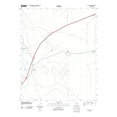 2010 Watrous2010 Print · USGSCovers Shoemaker, including Valmora, Watrous, and other nearby areas
 - 2013 Map of Watrous, 2013 Print
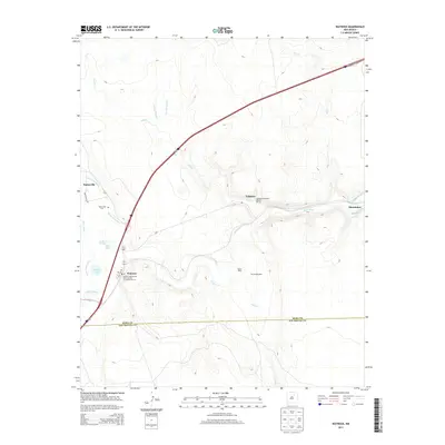 2013 Watrous2013 Print · USGSCovers Shoemaker, including Valmora, Watrous, and other nearby areas
 - 2017 Map of Watrous, 2017 Print
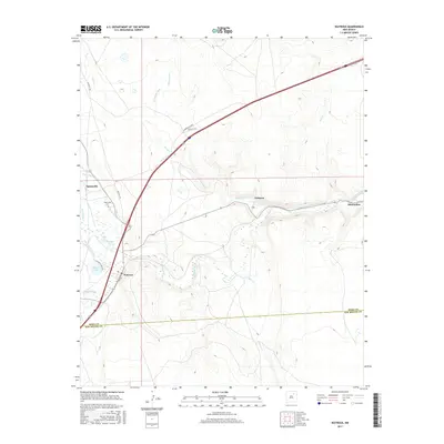 2017 Watrous2017 Print · USGSCovers Shoemaker, including Valmora, Watrous, and other nearby areas
 - 2020 Map of Watrous, 2020 Print
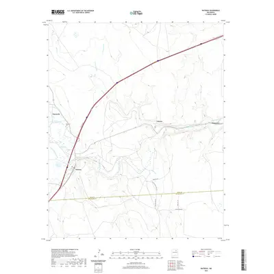 2020 Watrous2020 Print · USGSCovers Shoemaker, including Valmora, Watrous, and other nearby areas
 - 2023 Map of Watrous, 2023 Print
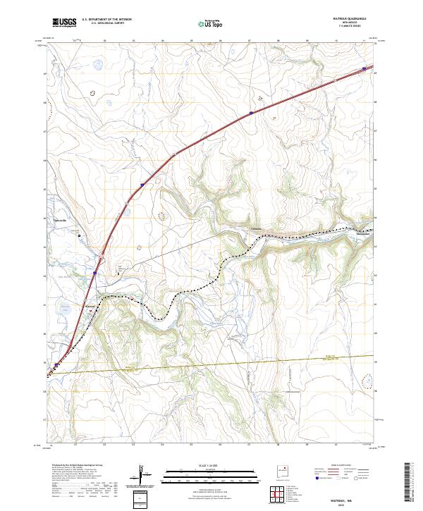 2023 Watrous2023 Print · USGSNortheastern New Mexico’s river valleys and historic trail routes are documented here in recent detail. Researchers can trace the path of the Santa Fe Trl and locate family burial sites at Tiptonville Cem and Old Watrous Cem.
End of results
Showing maps 1-11 of 11
Top cities near Shoemaker
Frequently asked questions
- What are the different types of historical maps available for Shoemaker?
- What is the oldest map of Shoemaker?
- Where can I purchase historical maps of Shoemaker for my home or office?
- Where can I download high-res historical maps of Shoemaker?
- Are there historical topographic maps available for Shoemaker?
- Is there historical aerial imagery available for Shoemaker?
- Where are historical maps of Shoemaker sourced from?