Old Maps of Woods Place, New Mexico for Genealogy
Trace your family roots with 9 historic maps of Woods Place. These high-res maps reveal old neighborhoods, homesites, landmarks, and streets — helping you uncover where your ancestors lived and how the area evolved over time.
- Explore historic neighborhoods: Identify where your relatives may have lived in the 1800s or 1900s.
- Compare maps over time: Trace the changes in streets, buildings, and landmarks for multi-generational research.
- Perfect for genealogy & ancestry research: Used by family historians and researchers to map out lineage and migration.
These maps are an incredible resource for exploring your personal connection to Woods Place's past.
Woods Place, NM maps
(9)- 1954 Map of Tucumcari, 1965 Print
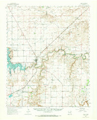
 1954 Tucumcari1965 Print · USGSThe high plains along the New Mexico and Texas border come alive in this mid-century survey, just as the regional highway network was maturing. Trace the historic route of U.S. 66 through Glenrio and San Jon or locate remote rail sidings like Rehm Station and Obar.2 unique versions available
 - 1958 Map of Tucumcari
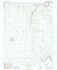
 1958 Tucumcari1958 Print · USGSEastern New Mexico and the Texas Panhandle meet in this mid-century survey of the high plains ranching and rail corridor. Researchers can trace the path of Mother Road travelers through Tucumcari and Glenrio or locate remote rail stops like Nara Visa Station and Hartley Station.
 - 1962 Map of Logan, 1966 Print
 1962 Logan1966 Print · USGSQuay County ranching and rail life are documented here in the early sixties, centered on the Logan river crossing. Researchers can trace historic family holdings like Pyle Ranch and Martinez Springs or locate the Anniston Cem near the southern plains.
 - 1989 Map of Tuscocoillo Canyon
 1989 Tuscocoillo Canyon1989 Print · USGSQuay County ranching land is documented here in the late eighties, showing a landscape defined by canyons and water rights. Researchers can trace family-named landmarks like Molyneaux Ranch and isolated rural infrastructure such as Ealen Windmill or Wallin Well.
 - 2010 Map of Tuscocoillo Canyon, 2010 Print
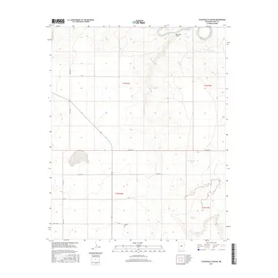
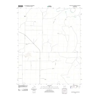 2010 Tuscocoillo Canyon2010 Print · USGSCovers Woods Place, including Quay County, United States, and other nearby areas
 - 2013 Map of Tuscocoillo Canyon, 2013 Print
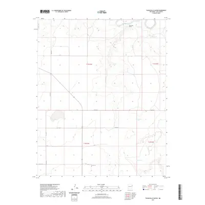
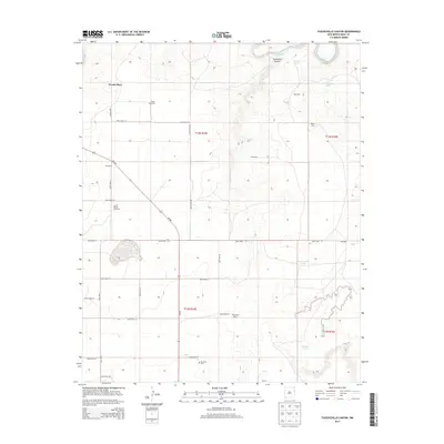 2013 Tuscocoillo Canyon2013 Print · USGSCovers Woods Place, including Quay County, United States, and other nearby areas
 - 2017 Map of Tuscocoillo Canyon, 2017 Print
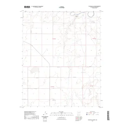
 2017 Tuscocoillo Canyon2017 Print · USGSCovers Woods Place, including Quay County, United States, and other nearby areas
 - 2020 Map of Tuscocoillo Canyon, 2020 Print
 2020 Tuscocoillo Canyon2020 Print · USGSCovers Woods Place, including Quay County, United States, and other nearby areas
 - 2023 Map of Tuscocoillo Canyon, 2023 Print
 2023 Tuscocoillo Canyon2023 Print · USGSQuay County ranch land is captured in this modern survey of the high plains north of the caprock. Genealogists and local historians can locate Anniston Cem and trace the drainage of Tuscocoillo Canyon toward the Canadian River.
End of results
Showing maps 1-9 of 9
Top cities near Woods Place
Frequently asked questions
- What are the different types of historical maps available for Woods Place?
- What is the oldest map of Woods Place?
- Where can I purchase historical maps of Woods Place for my home or office?
- Where can I download high-res historical maps of Woods Place?
- Are there historical topographic maps available for Woods Place?
- Is there historical aerial imagery available for Woods Place?
- Where are historical maps of Woods Place sourced from?