Old Maps of Chimayo, New Mexico for Hiking & Exploration
Hike through history with 10 historic maps of Chimayo. Explore old trails, ghost towns, and forgotten backroads — perfect for outdoor adventurers and local explorers.
- Rediscover forgotten places: Map out old mining camps, roads, and footpaths that no longer exist on modern maps.
- Layer with modern tools: Combine with LiDAR or satellite views to plan hikes through historical terrain.
- Made for exploration: Popular among hikers, overlanders, and local history lovers.
Use these maps to find adventure and explore the hidden past of Chimayo.
Chimayo, NM maps
(10)- 1953 Map of Chimayo, 1955 Print
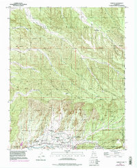
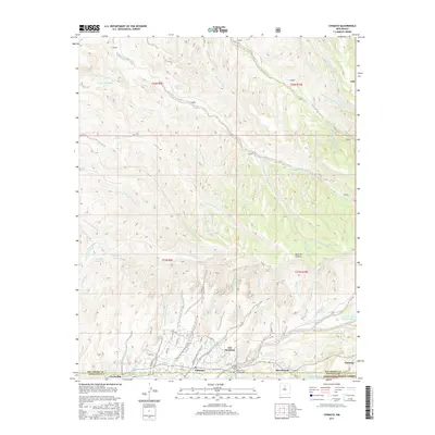
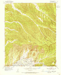 1953 Chimayo1955 Print · USGSNorthern New Mexico in the early fifties shows a landscape of traditional land grants and scattered valley settlements. Trace genealogies through Chimayo, Los Pachecos, and Quemado or locate historic sites like Capilla de Santa Rita and ancient Pueblo Ruins.3 unique versions available
 - 1954 Map of Raton, 1963 Print
 1954 Raton1963 Print · USGSNorthern New Mexico's high-country and plains are documented here in the early sixties, showing the region's ranching and mining infrastructure. Trace the legacy of the Maxwell Land Grant, locate remote rural sites like Tafoya School, and follow the Atchison Topeka and Santa Fe Railway through the heart of Raton.3 unique versions available
 - 1958 Map of Raton
 1958 Raton1958 Print · USGSNorthern New Mexico and the Colorado borderlands are mapped here in the late fifties, showcasing a landscape of high peaks and historic land grants. Genealogists and historians can trace families across Picuris Pueblo, find old schoolhouses like Piedra Lumbre School, or follow the Atchison Topeka and Santa Fe rail line.3 unique versions available
 - 1983 Map of Taos
 1983 Taos1983 Print · USGSNorthern New Mexico's high-country heritage is on full display in the early eighties, from the deep river canyons to the highest alpine peaks. Genealogists and historians can trace traditional land-grant settlements like Las Trampas, Truchas, and the historic Taos Pueblo.2 unique versions available
 - 1994 Map of Chimayo, 1998 Print
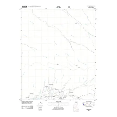
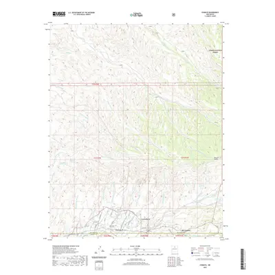
 1994 Chimayo1998 Print · USGSThe northern New Mexico valley and its ancestral land grants are captured here during the mid-nineties. You can trace early settlement patterns and irrigation history through features like the Santa Cruz Ditch, the Capilla de Santa Rita, and several Pueblo Ruins.
 - 2011 Map of Chimayo, 2011 Print
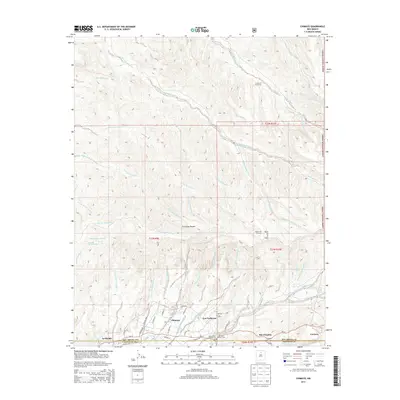
 2011 Chimayo2011 Print · USGSCovers Chimayo, including El Rincon de los Trujillos, Los Pachecos, and other nearby areas
 - 2013 Map of Chimayo, 2013 Print
 2013 Chimayo2013 Print · USGSCovers Chimayo, including El Rincon de los Trujillos, Los Pachecos, and other nearby areas
 - 2017 Map of Chimayo, 2017 Print
 2017 Chimayo2017 Print · USGSCovers Chimayo, including El Rincon de los Trujillos, Los Pachecos, and other nearby areas
 - 2020 Map of Chimayo, 2020 Print
 2020 Chimayo2020 Print · USGSCovers Chimayo, including El Rincon de los Trujillos, Los Pachecos, and other nearby areas
 - 2023 Map of Chimayo, 2023 Print
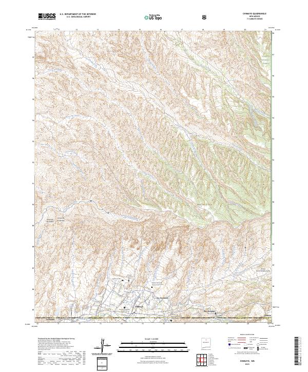 2023 Chimayo2023 Print · USGSTraditional valley settlements in Rio Arriba and Santa Fe counties are mapped here at the foot of the mountains. Genealogists and historians can trace numerous family and church burial sites, including Lighthouse Cem and the Nuestra Senora de Delores Cem near Chimayo.
End of results
Showing maps 1-10 of 10
Top cities near Chimayo
Frequently asked questions
- What are the different types of historical maps available for Chimayo?
- What is the oldest map of Chimayo?
- Where can I purchase historical maps of Chimayo for my home or office?
- Where can I download high-res historical maps of Chimayo?
- Are there historical topographic maps available for Chimayo?
- Is there historical aerial imagery available for Chimayo?
- Where are historical maps of Chimayo sourced from?