Old Maps of Leyba, New Mexico for Hiking & Exploration
Hike through history with 11 historic maps of Leyba. Explore old trails, ghost towns, and forgotten backroads — perfect for outdoor adventurers and local explorers.
- Rediscover forgotten places: Map out old mining camps, roads, and footpaths that no longer exist on modern maps.
- Layer with modern tools: Combine with LiDAR or satellite views to plan hikes through historical terrain.
- Made for exploration: Popular among hikers, overlanders, and local history lovers.
Use these maps to find adventure and explore the hidden past of Leyba.
Leyba, NM maps
(11)- 1894 Map of Lamy
 1894 Lamy1894 Print · USGSNorthern New Mexico in the late nineteenth century centers on the high-desert corridor of the Atchison Topeka and Santa Fe RR. Genealogists and historians can trace early ranching sites like Gomez Ranch and rail stops from Lamy to Fulton.5 unique versions available
 - 1954 Map of Santa Fe, 1963 Print
 1954 Santa Fe1963 Print · USGSNew Mexico's high mountains and eastern plains meet in the mid-fifties, showing a landscape defined by the Sangre de Cristo Mountains and the Pecos River. Trace family roots and local history through San Christobal Church, Sena School, and the historic Las Vegas rail corridor.4 unique versions available
 - 1958 Map of Santa Fe
 1958 Santa Fe1958 Print · USGSThe Sangre De Cristo Mountains meet the high plains in the late 1950s, showing a landscape defined by rail corridors and ranching. Genealogists can trace family-named sites like Upton Ranch or visit the Fort Union (Ruins) and Tuloso School.
 - 1966 Map of Leyba, 1971 Print
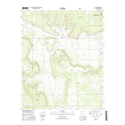
 1966 Leyba1971 Print · USGSSan Miguel County ranchlands and canyons are meticulously detailed in the mid-1960s, showing the intersection of local community life and ancient history. Genealogists and historians can locate Leyba, the San Francisco Cem Ch, and significant El Cablito Indian Ruins.
 - 1983 Map of Villanueva, 1984 Print
 1983 Villanueva1984 Print · USGSThe Pecos River valley and its high mesa surroundings are captured here in the early eighties. Researchers can trace historic river settlements like Villanueva and Sena, the route of the Atchison Topeka and Santa Fe railroad, and the high-desert terrain of Glorieta Mesa.
 - 2002 Map of Leyba, 2003 Print
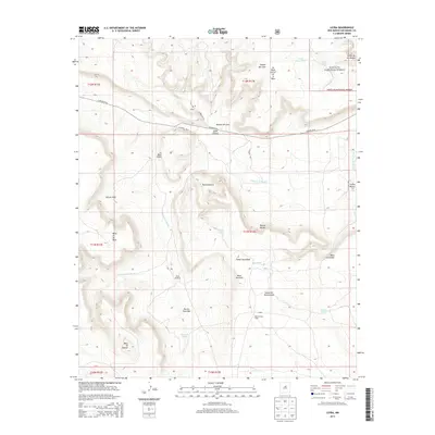
 2002 Leyba2003 Print · USGSSan Miguel County ranching and forest lands are revealed in this early 2000s survey of the high mesa country. Genealogists and historians can locate the San Francisco Church in Leyba, or trace remote sites like Vigil and the Shelly Hayes Camp.
 - 2011 Map of Leyba, 2011 Print
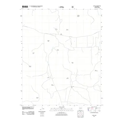 2011 Leyba2011 Print · USGSCovers Leyba, including San Miguel County, United States, and other nearby areas
 - 2013 Map of Leyba, 2013 Print
 2013 Leyba2013 Print · USGSCovers Leyba, including San Miguel County, United States, and other nearby areas
 - 2017 Map of Leyba, 2017 Print
 2017 Leyba2017 Print · USGSCovers Leyba, including San Miguel County, United States, and other nearby areas
 - 2020 Map of Leyba, 2020 Print
 2020 Leyba2020 Print · USGSCovers Leyba, including San Miguel County, United States, and other nearby areas
 - 2023 Map of Leyba, 2023 Print
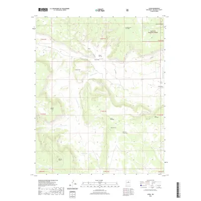
 2023 Leyba2023 Print · USGSSan Miguel County's high mesa country is documented here in the early 2020s, showing a landscape of deep canyons and vital highland water tanks. Local history researchers can locate the San Francisco Cem and trace the paths of Cañon Blanco and Cañada de Pueblo.
End of results
Showing maps 1-11 of 11
Frequently asked questions
- What are the different types of historical maps available for Leyba?
- What is the oldest map of Leyba?
- Where can I purchase historical maps of Leyba for my home or office?
- Where can I download high-res historical maps of Leyba?
- Are there historical topographic maps available for Leyba?
- Is there historical aerial imagery available for Leyba?
- Where are historical maps of Leyba sourced from?