2000s (21st Century) Maps of Cochiti Pueblo, New Mexico
Explore 6 historic maps of Cochiti Pueblo from the 2000s (21st Century). These maps offer a rare glimpse into what life looked like during the 2000s — showing old roads, neighborhoods, homes, and landmarks that have changed or disappeared over time.
Whether you're researching your family's past, planning a metal detecting trip, or studying how Cochiti Pueblo's landscape evolved across the 2000s, these high-resolution maps are a powerful tool for exploring the history of this region.
- Focus on a specific era: All maps on this page are from the 2000s, giving you a focused view of this time period.
- See what’s changed: Compare century-old streets, trails, and buildings to today's modern landscape using overlays and satellite layers.
- Research with precision: Use these maps for genealogy, historical research, land use analysis, or educational projects.
- View, download, or print: Maps are fully viewable online in high resolution, and can be downloaded or printed for your own records.
Start exploring Cochiti Pueblo's history through authentic maps from the 2000s. This is your window into the past.
Cochiti Pueblo, NM maps
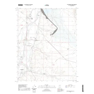
(6)- 2002 Map of Santo Domingo Pueblo, 2003 Print
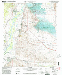 2002 Santo Domingo Pueblo2003 Print · USGSThe Rio Grande valley comes into sharp focus at the turn of the millennium, showing the vital intersection of ancestral lands and modern water management. Genealogists and local historians can locate Santo Domingo Pueblo, trace the Santa Fe River, and find local landmarks like Peña Blanca and Cochiti Pueblo.
 - 2011 Map of Santo Domingo Pueblo, 2011 Print
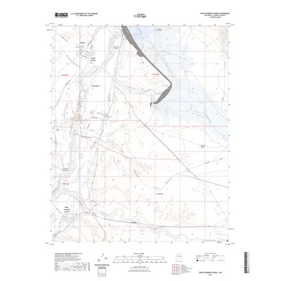
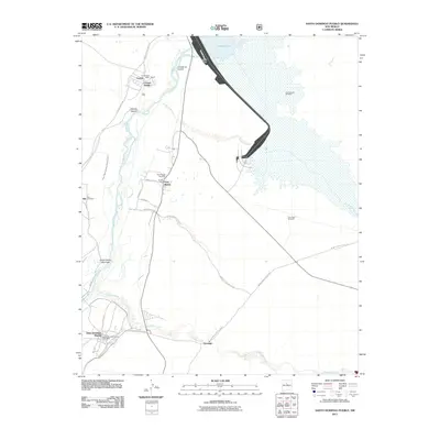 2011 Santo Domingo Pueblo2011 Print · USGSCovers Cochiti Pueblo, including Peña Blanca, Sile, and other nearby areas
 - 2013 Map of Santo Domingo Pueblo, 2013 Print
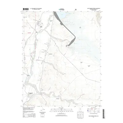 2013 Santo Domingo Pueblo2013 Print · USGSCovers Cochiti Pueblo, including Peña Blanca, Sile, and other nearby areas
 - 2017 Map of Santo Domingo Pueblo, 2017 Print
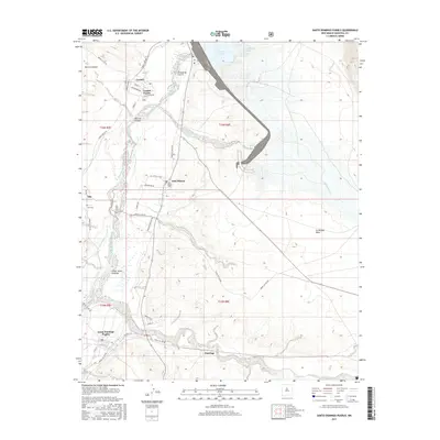 2017 Santo Domingo Pueblo2017 Print · USGSCovers Cochiti Pueblo, including Peña Blanca, Sile, and other nearby areas
 - 2020 Map of Santo Domingo Pueblo, 2020 Print
 2020 Santo Domingo Pueblo2020 Print · USGSCovers Cochiti Pueblo, including Peña Blanca, Sile, and other nearby areas
 - 2023 Map of Santo Domingo Pueblo, 2023 Print
 2023 Santo Domingo Pueblo2023 Print · USGSThe Sandoval County river valley comes into sharp focus in the early 2020s, detailing the ancient pueblo lands along the Rio Grande. Researchers can trace the modern boundaries and irrigation of Santo Domingo Pueblo, identify local landmarks like the Pena Blanca Cem, and follow the terrain up to Tetilla Peak.
End of results
Showing maps 1-6 of 6
Top cities near Cochiti Pueblo
- Rio Rancho historical maps
- White Rock historical maps
- Peña Blanca historical maps
- Madrid historical maps
Frequently asked questions
- What are the different types of historical maps available for Cochiti Pueblo?
- What is the oldest map of Cochiti Pueblo?
- Where can I purchase historical maps of Cochiti Pueblo for my home or office?
- Where can I download high-res historical maps of Cochiti Pueblo?
- Are there historical topographic maps available for Cochiti Pueblo?
- Is there historical aerial imagery available for Cochiti Pueblo?
- Where are historical maps of Cochiti Pueblo sourced from?