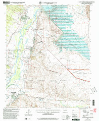
2002 Map of Santo Domingo Pueblo
USGS Topo · Published 2003About this map
Santo Domingo Pueblo and Cochiti Pueblo anchor this study of the Rio Grande valley at the turn of the 21st century. The landscape is defined by the complex borders of several land grants, including the Pueblo de Cochiti Grant and the La Majada Grant, which intersect with the Santa Fe National Forest. Water management is central to the area's geography, visible in the expanse of Cochiti Lake and the network of diversion dams along the Rio Grande.
Find a feature on this map
32 named features on this map. Tap any name to fly to it.
Don’t see what you’re looking for? This feature index may not catch every label — zoom into the map to look around manually.
Map Details
Editions of this 2002 Santo Domingo Pueblo Map
This is the sole edition of this map. No revisions or reprints were ever made.
Other maps of this area

1892 · San Pedro
USGS Topo · 1:125,000

1892 · Santa Clara
USGS Topo · 1:125,000
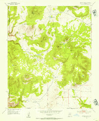
1952 · Montoso Peak
USGS Topo · 1:24,000
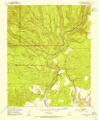
1953 · Cochiti Dam
USGS Topo · 1:24,000
1953 · Santo Domingo Pueblo
USGS Topo · 1:24,000
1953 · Tetilla Peak
USGS Topo · 1:24,000

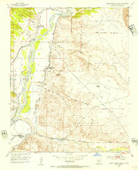
1953 · Santo Domingo Pueblo SW
USGS Topo · 1:24,000
1953 · Canada
USGS Topo · 1:24,000
1953 · Agua Fria
USGS Topo · 1:62,500
1953 · Santo Domingo Pueblo
USGS Topo · 1:62,500