
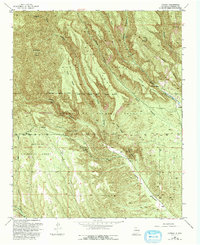
1953 Map of Canada
USGS Topo · Published 1955About this map
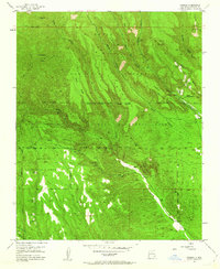
The high mesa and canyon country of the Santa Fe National Forest defines this region during the early 1950s, showing a landscape transitioning between its mining history and tribal land management. Modern activity is concentrated at several Pumice Mines (Active) and the Cochiti Ranger Station, while the legacy of earlier eras remains at the Albemarle (Site) and the Canada (Ruins) near the Rio Chiquito. Large portions of the terrain are divided into historic land grants, including the Cañada De Cochiti Grant, which is identified as Tribal Indian Land of Jemez Pueblo. Significant topographical landmarks like Bearhead Peak and Horn Mesa overlook a complex network of drainages such as Bland Canyon and Peralta Canyon, accessed by the primitive Albemarle Road.
Find a feature on this map
39 named features on this map. Tap any name to fly to it.
Don’t see what you’re looking for? This feature index may not catch every label — zoom into the map to look around manually.
Map Details
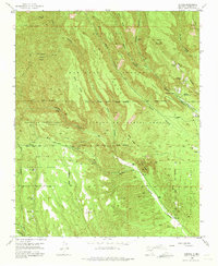
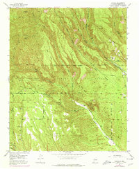
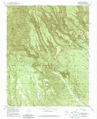
Editions of this 1953 Canada Map
6 editions found
Other maps of this area

1890 · Jemes
USGS Topo · 1:125,000

1892 · Jemes
USGS Topo · 1:125,000

1892 · Santa Clara
USGS Topo · 1:125,000

1937 · Jemez Springs
USGS Topo · 1:48,000

1943 · Jemez
USGS Topo · 1:62,500

1944 · Jemez Springs
USGS Topo · 1:62,500

1952 · Jemez Springs
USGS Topo · 1:62,500

1952 · Frijoles
USGS Topo · 1:24,000

1952 · Jemez
USGS Topo · 1:62,500

1953 · Cochiti Dam
USGS Topo · 1:24,000