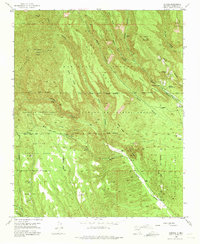
1953 Map of Canada
USGS Topo · Published 1975About this map
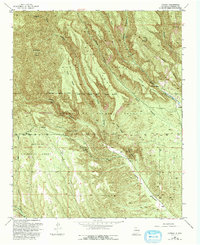
The Cañada de Cochiti Grant defines this portion of the Santa Fe National Forest, where high mesa terrain meets the deep drainages of Cochiti Canyon and Bland Canyon. In the early 1950s, the area's landscape reflected both its extractive mining history and its ancient roots, featuring the Albemarle townsite and the Cañada ruins. Activity is concentrated around several Pumice Mines and the Cañada Ranger Station near Rancho Cañada. Trails such as the Bear Springs Trail and the Old Albemarle Road traverse a landscape punctuated by distinctive geological landmarks, including the Tent Rocks formation and the sheer drop of Peralta Bear Jump. The map documents a complex overlay of land grants, including the Pueblo de Cochiti Grant and Santo Domingo Pueblo Grant, marking traditional territories within the forest boundaries.
Find a feature on this map
44 named features on this map. Tap any name to fly to it.
Don’t see what you’re looking for? This feature index may not catch every label — zoom into the map to look around manually.
Map Details
Editions of this 1953 Canada Map
6 editions found

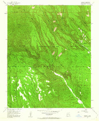
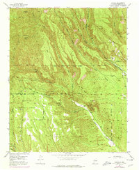
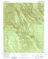
Other maps of this area

1890 · Jemes
USGS Topo · 1:125,000

1892 · Jemes
USGS Topo · 1:125,000

1892 · Santa Clara
USGS Topo · 1:125,000

1937 · Jemez Springs
USGS Topo · 1:48,000

1943 · Jemez
USGS Topo · 1:62,500

1944 · Jemez Springs
USGS Topo · 1:62,500

1952 · Jemez Springs
USGS Topo · 1:62,500

1952 · Frijoles
USGS Topo · 1:24,000

1952 · Jemez
USGS Topo · 1:62,500

1953 · Cochiti Dam
USGS Topo · 1:24,000