
1944 Map of Jemez Springs
USGS Topo · Published 1944About this map
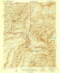
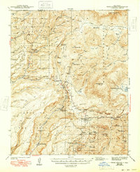
Jemez Springs and the surrounding high-country canyons of the Santa Fe National Forest are defined by a network of geothermal activity and early 20th-century ranching. This 1937 survey reveals a landscape of isolated homesteads and public works, including the Battleship Rock CCC Camp and the Seven Springs Ranger Sta near the State Fish Hatchery. The map captures the significant transition between the Baca Location No 1 Border and the public lands, marked by prominent peaks like Redondo Peak and San Antonio Mtn.
Find a feature on this map
75 named features on this map. Tap any name to fly to it.
Don’t see what you’re looking for? This feature index may not catch every label — zoom into the map to look around manually.
Map Details
Editions of this 1944 Jemez Springs Map
3 editions found
Other maps of this area

1890 · Jemes
USGS Topo · 1:125,000

1892 · Jemes
USGS Topo · 1:125,000

1892 · Santa Clara
USGS Topo · 1:125,000

1909 · Gallina
USGS Topo · 1:125,000

1918 · Abiquiu
USGS Topo · 1:125,000

1937 · Jemez Springs
USGS Topo · 1:48,000

1939 · La Ventana
USGS Topo · 1:62,500

1939 · San Ysidro
USGS Topo · 1:62,500

1940 · Cuba
USGS Topo · 1:62,500

1943 · San Ysidro
USGS Topo · 1:62,500