
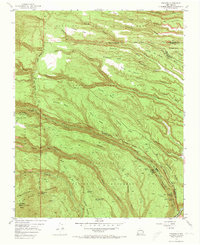
1952 Map of Frijoles
USGS Topo · Published 1954About this map
Pueblo Ruins and ancient architectural sites dominate the canyon-and-mesa landscape of this 1952 topographic study. The area is defined by the deep incisions of the Cañon de los Frijoles and Alamo Canyon, where the Rito de los Frijoles flows toward the Rio Grande. This map captures the administrative and archaeological heart of Bandelier National Monument, showing the Frijoles (Monument Headquarters) and unique cultural features such as the Ceremonial Cave and the Stone Lions Shrine.
Find a feature on this map
44 named features on this map. Tap any name to fly to it.
Don’t see what you’re looking for? This feature index may not catch every label — zoom into the map to look around manually.
Map Details
Editions of this 1952 Frijoles Map
3 editions found

Other maps of this area

1892 · Santa Clara
USGS Topo · 1:125,000

1952 · White Rock
USGS Topo · 1:24,000

1952 · Valle Toledo
USGS Topo · 1:24,000

1952 · Puye
USGS Topo · 1:24,000

1952 · Montoso Peak
USGS Topo · 1:24,000

1952 · Guaje Mountain
USGS Topo · 1:24,000

1953 · Cochiti Dam
USGS Topo · 1:24,000

1953 · Bland
USGS Topo · 1:24,000

1953 · Canada
USGS Topo · 1:24,000

1953 · Agua Fria
USGS Topo · 1:62,500