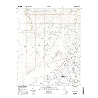
1953 Map of Agua Fria
USGS Topo · Published 1956About this map
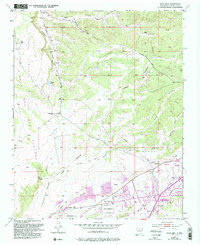
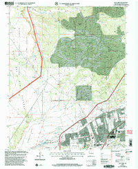
Santa Fe River canyon walls and high mesas define the landscape of this high-desert region in the mid-1950s. The historic El Camino Real and the Pan American Highway cut through the terrain, connecting ancient routes with modern mid-century infrastructure. Small settlements such as Agua Fria and La Cienega are shown alongside spiritual landmarks like St Joseph Ch and Cieneguilla Ch. Evidence of the area's ancient history is found at the Tsinat Ruins on Tsinat Mesa, while its industrial and commercial character is revealed through the Pumice Mine, the Marshal Bonanza (Inactive) Mine, and the Turquoise Trading Post. The shift in aviation history is also documented by the presence of both the Santa Fe Municipal Airport and the Santa Fe Old Municipal Airport.
Find a feature on this map
81 named features on this map. Tap any name to fly to it.
Don’t see what you’re looking for? This feature index may not catch every label — zoom into the map to look around manually.
Map Details
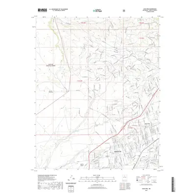
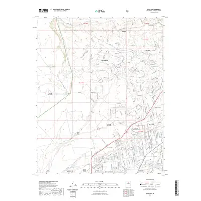
Editions of this 1953 Agua Fria Map
This is the sole edition of this map. No revisions or reprints were ever made.
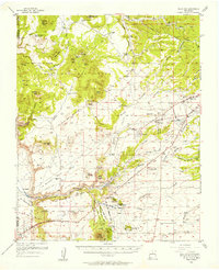
Historical Maps of Santa Fe Through Time
8 maps found