
1952 Map of Valle Toledo
USGS Topo · Published 1954About this map
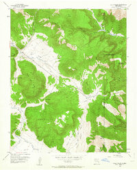
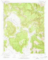
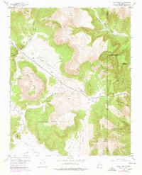
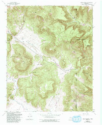
Baca Location No 1 dominates this high-altitude landscape, a massive private land grant defined by dramatic volcanic features and mountain meadows. The terrain is a complex of volcanic domes including Cerro Del Medio, Cerro Rubio, and Cerro Piñon, interspersed with broad valles like Valle San Antonio and Valle de los Posos. Water systems radiate from these peaks, with San Antonio Creek and Turkey Creek carving deep drainages into the Sierra de Toledo. The eastern edge of the survey reveals the boundaries of the Santa Clara Indian Reservation and the Santa Fe National Forest. This mapping captures the area before modern development, showing the early routes of the Camp May Trail and the Quemazon Trail ascending toward Pajarito Mountain.
Find a feature on this map
40 named features on this map. Tap any name to fly to it.
Don’t see what you’re looking for? This feature index may not catch every label — zoom into the map to look around manually.
Map Details
Editions of this 1952 Valle Toledo Map
5 editions found
Other maps of this area

1890 · Jemes
USGS Topo · 1:125,000

1892 · Jemes
USGS Topo · 1:125,000

1892 · Santa Clara
USGS Topo · 1:125,000

1909 · Gallina
USGS Topo · 1:125,000

1918 · Abiquiu
USGS Topo · 1:125,000

1937 · Jemez Springs
USGS Topo · 1:48,000

1944 · Jemez Springs
USGS Topo · 1:62,500

1952 · Jemez Springs
USGS Topo · 1:62,500

1952 · Frijoles
USGS Topo · 1:24,000

1952 · Guaje Mountain
USGS Topo · 1:24,000