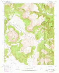
1952 Map of Valle Toledo
USGS Topo · Published 1978About this map
Baca Location No 1 defines the sprawling geography of this high-altitude landscape, a massive private land grant situated within the Valles Caldera. The terrain is marked by volcanic domes and expansive grasslands, with drainage systems like Valle Toledo San Antonio Creek and Jaramillo Creek carving through the meadows. This survey, based on 1952 fieldwork with later revisions, shows a network of resource management and early recreation infrastructure, including a prominent Pipe Line traversing the valleys. High peaks such as Cerro Toledo and Cerro Del Medio rise above the timbered slopes of the Santa Fe National Forest. On the eastern edge, the Santa Clara Indian Reservation boundary highlights the complex land tenure of the region. Primitive routes like the Quemazon Trail and Camp May Trail provide the only access into the steeper canyons of the Sierra de Toledo.
Find a feature on this map
44 named features on this map. Tap any name to fly to it.
Don’t see what you’re looking for? This feature index may not catch every label — zoom into the map to look around manually.
Map Details
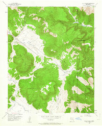
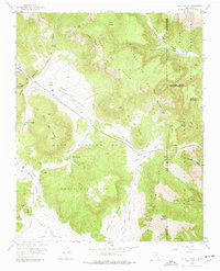
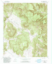
Editions of this 1952 Valle Toledo Map
5 editions found
Other maps of this area

1890 · Jemes
USGS Topo · 1:125,000

1892 · Jemes
USGS Topo · 1:125,000

1892 · Santa Clara
USGS Topo · 1:125,000

1909 · Gallina
USGS Topo · 1:125,000

1918 · Abiquiu
USGS Topo · 1:125,000

1937 · Jemez Springs
USGS Topo · 1:48,000

1944 · Jemez Springs
USGS Topo · 1:62,500

1952 · Valle Toledo
USGS Topo · 1:24,000

1952 · Jemez Springs
USGS Topo · 1:62,500

1952 · Frijoles
USGS Topo · 1:24,000