
1953 Map of Santo Domingo Pueblo
USGS Topo · Published 1954About this map
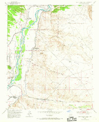
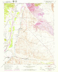
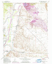
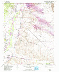
Santo Domingo Pueblo and Cochiti Pueblo anchor this mid-century survey of the middle Rio Grande valley. The landscape is defined by an intricate network of water management, including the Main Canal, Santo Domingo Ditch, and the Lower West Side Canal, which sustain the traditional agricultural lands of the pueblo grants. These irrigation systems follow the river's path, contrasting with the dry canyons and mesas like La Majada Mesa to the east.
Find a feature on this map
30 named features on this map. Tap any name to fly to it.
Don’t see what you’re looking for? This feature index may not catch every label — zoom into the map to look around manually.
Map Details
Editions of this 1953 Santo Domingo Pueblo Map
5 editions found
Other maps of this area

1892 · San Pedro
USGS Topo · 1:125,000

1892 · Santa Clara
USGS Topo · 1:125,000

1952 · Montoso Peak
USGS Topo · 1:24,000

1953 · Cochiti Dam
USGS Topo · 1:24,000

1953 · Tetilla Peak
USGS Topo · 1:24,000

1953 · Santo Domingo Pueblo SW
USGS Topo · 1:24,000

1953 · Canada
USGS Topo · 1:24,000

1953 · Agua Fria
USGS Topo · 1:62,500

1953 · Santo Domingo Pueblo
USGS Topo · 1:62,500

1954 · San Felipe Pueblo
USGS Topo · 1:24,000