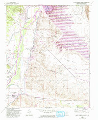
1953 Map of Santo Domingo Pueblo
USGS Topo · Published 1993About this map
The Rio Grande valley serves as the central corridor of this landscape, flanked by the Cochiti Pueblo Grant and the Santo Domingo Pueblo Grant. Indigenous settlements such as Cochiti Pueblo and Santo Domingo Pueblo anchor the cultural geography, while the village of Peña Blanca sits at the edge of a complex irrigation system of canals and ditches. The later 20th-century revisions to this survey highlight the massive engineering of the Cochiti Dam, which created Cochiti Lake and significantly altered the river's hydrology near Peralta Canyon. Transportation and industry are marked by the Atchison Topeka and Santa Fe railroad line running through Domingo, where a Gravel Pit and proximity to Galisteo Creek indicate the local economy. The surrounding mesas, including La Majada Mesa, lead into the protected lands of the Santa Fe National Forest.
Find a feature on this map
27 named features on this map. Tap any name to fly to it.
Don’t see what you’re looking for? This feature index may not catch every label — zoom into the map to look around manually.
Map Details
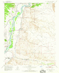
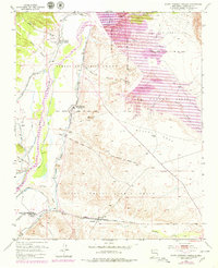
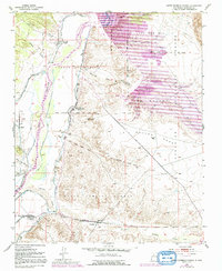
Editions of this 1953 Santo Domingo Pueblo Map
5 editions found
Other maps of this area

1892 · San Pedro
USGS Topo · 1:125,000

1892 · Santa Clara
USGS Topo · 1:125,000

1952 · Montoso Peak
USGS Topo · 1:24,000

1953 · Cochiti Dam
USGS Topo · 1:24,000

1953 · Santo Domingo Pueblo
USGS Topo · 1:24,000

1953 · Tetilla Peak
USGS Topo · 1:24,000

1953 · Santo Domingo Pueblo SW
USGS Topo · 1:24,000

1953 · Canada
USGS Topo · 1:24,000

1953 · Agua Fria
USGS Topo · 1:62,500

1953 · Santo Domingo Pueblo
USGS Topo · 1:62,500