Old Maps of Academy Park Condominiums, Santa Fe for Metal Detecting
Plan your next treasure hunt with 14 historic maps of Academy Park Condominiums. Find old homesites, ghost towns, trails, and gathering spots that may be lost to time — perfect for identifying promising metal detecting locations.
- Locate forgotten sites: Uncover places like long-lost settlements, abandoned rail lines, or gathering spots.
- Plan better hunts: Use map overlays combined with LiDAR or satellite views to narrow in on historically rich areas.
- Made for detectorists: Thousands of hobbyists use these maps to discover relics, coins, and hidden history.
Use these historic maps to boost your research and find new opportunities beneath the surface of Academy Park Condominiums.
Academy Park Condominiums, Santa Fe maps
(14)- 1892 Map of Santa Clara
 1892 Santa Clara1892 Print · USGSUpper New Mexico at the end of the nineteenth century reveals a landscape shaped by the Rio Grande and the arrival of the rails. Genealogists and historians can trace traditional settlements like San Ildefonso and Peña Blanca alongside the burgeoning Santa Fé Southern Railway.4 unique versions available
 - 1951 Map of Agua Fria, 1953 Print
 1951 Agua Fria1953 Print · USGSThe area west of the state capital is captured in the early fifties as old land grants met mid-century aviation and highway growth. Trace family history at San Isidro Cemetery or follow the historic path of El Camino Real and Agua Fria.7 unique versions available
 - 1953 Map of Agua Fria, 1956 Print
 1953 Agua Fria1956 Print · USGSSanta Fe and the surrounding mesas in the mid-1950s reveal a mix of ancient Puebloan history and mid-century modern growth. Trace the path of El Camino Real, locate family roots near La Bajada, or find mining history at the Marshal Bonanza Mine.
 - 1958 Map of Albuquerque
 1958 Albuquerque1958 Print · USGSAlbuquerque and the surrounding high desert are captured here during a period of massive federal expansion and postwar growth. Researchers can trace the development of Kirtland Air Force Base, find ancestral homes in Pueblo de Santa Ana, or locate industrial sites like the Jackpile Mine.
 - 1962 Map of Albuquerque
 1962 Albuquerque1962 Print · USGSAlbuquerque and the surrounding high desert are captured here in the early 1960s during a period of intense mineral and military growth. Genealogists and historians can locate early schools like the Pueblo Pintado School, major industrial sites like the Jackpile Mine, and the sprawling Kirtland Air Force Base.
 - 1963 Map of Albuquerque, 1965 Print
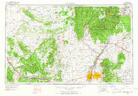 1963 Albuquerque1965 Print · USGSMid-century New Mexico unfolds across this map, showcasing the intersection of ancient pueblos, modern military bases, and historic mining districts. Trace family roots and local history through the Ortiz Mine, Seven Lakes Trading Post, and Alameda.3 unique versions available
 - 1978 Map of Los Alamos
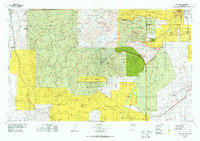 1978 Los Alamos1978 Print · USGSThe Jemez Mountains and Rio Grande valley come together in the late seventies, showing a land defined by volcanic peaks and ancient pueblos. Trace the footprints of Bandelier National Monument, find the rail line of the Atchison Topeka and Santa Fe, and locate historic settlements like Jemez Pueblo.
 - 1983 Map of Albuquerque, 1984 Print
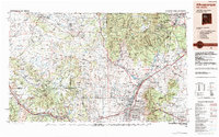 1983 Albuquerque1984 Print · USGSCentral New Mexico in the early eighties shows a landscape where ancient pueblos and modern aerospace hubs meet. Trace the routes of the Atchison Topeka and Santa Fe RR or locate landmarks like Kirtland Air Force Base, Madrid, and the Sandia Mountains.
 - 2002 Map of Agua Fria, 2003 Print
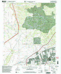 2002 Agua Fria2003 Print · USGSSanta Fe and its western ranchlands are shown during a period of modern expansion at the turn of the millennium. Researchers can trace the heritage of Agua Fria (Historic) near the San Isidro Cem and the Caja Del Rio Grant.
 - 2011 Map of Agua Fria, 2011 Print
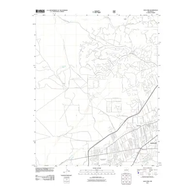 2011 Agua Fria2011 Print · USGSThe western edges of Santa Fe and the settlement of Agua Fria are shown in 2011 as they expand into the high-desert arroyos. Genealogists and locals can trace family sites near San Isidro Cemetery or follow the paths of Cañada Ancha and the Santa Fe River.
 - 2013 Map of Agua Fria, 2013 Print
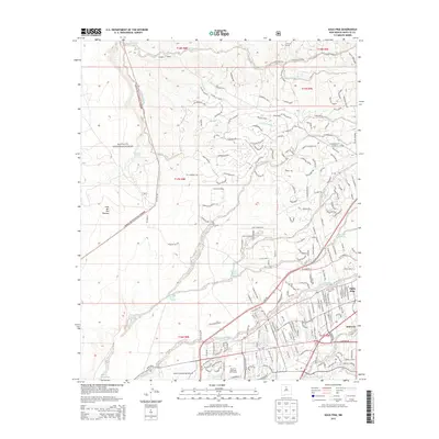 2013 Agua Fria2013 Print · USGSThe western outskirts of Santa Fe are shown here in the early twenty-first century as suburban development meets the high desert. Researchers can trace the layout of Agua Fria, locate the San Isidro Cem, and follow the path of the Santa Fe River.
 - 2017 Map of Agua Fria, 2017 Print
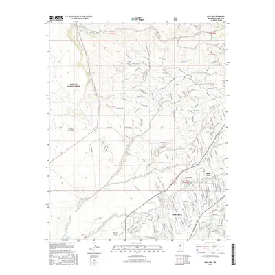 2017 Agua Fria2017 Print · USGSSanta Fe and the adjacent village of Agua Fria are shown in detail as they appeared in 2017, transitioning from city streets to the high desert. Researchers can trace local heritage at San Isidro Cem or follow water features like the Santa Fe River and Arroyo Calabasas.
 - 2020 Map of Agua Fria, 2020 Print
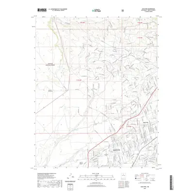 2020 Agua Fria2020 Print · USGSModern Santa Fe and the historic village of Agua Fria are captured here during a period of significant growth at the edge of the Caja del Rio Plateau. Researchers can trace local landmarks like San Isidro Cem, Southwestern College, and the drainage patterns of the Santa Fe River.
 - 2023 Map of Agua Fria, 2023 Print
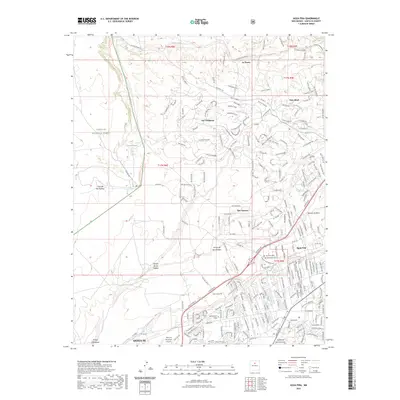 2023 Agua Fria2023 Print · USGSSanta Fe's western edge and the historic village of Agua Fria are captured here in the early twenty-first century. Researchers can trace the path of the Camino Real Trl near local landmarks like the San Isidro Cem and Southwestern College.
End of results
Showing maps 1-14 of 14
Frequently asked questions
- What are the different types of historical maps available for Academy Park Condominiums?
- What is the oldest map of Academy Park Condominiums?
- Where can I purchase historical maps of Academy Park Condominiums for my home or office?
- Where can I download high-res historical maps of Academy Park Condominiums?
- Are there historical topographic maps available for Academy Park Condominiums?
- Is there historical aerial imagery available for Academy Park Condominiums?
- Where are historical maps of Academy Park Condominiums sourced from?