Old Maps of Placitas, New Mexico for Hiking & Exploration
Hike through history with 10 historic maps of Placitas. Explore old trails, ghost towns, and forgotten backroads — perfect for outdoor adventurers and local explorers.
- Rediscover forgotten places: Map out old mining camps, roads, and footpaths that no longer exist on modern maps.
- Layer with modern tools: Combine with LiDAR or satellite views to plan hikes through historical terrain.
- Made for exploration: Popular among hikers, overlanders, and local history lovers.
Use these maps to find adventure and explore the hidden past of Placitas.
Placitas, NM maps
(10)- 1954 Map of Tularosa, 1963 Print
 1954 Tularosa1963 Print · USGSSouth-central New Mexico in the early fifties shows a landscape of desert basins and high peaks under heavy military and water-reclamation use. Trace the path of the Atchison Topeka and Santa Fe Railway past San Marcial and into the massive White Sands Proving Ground.4 unique versions available
 - 1958 Map of Tularosa
 1958 Tularosa1958 Print · USGSSouthern New Mexico in the late fifties shows a landscape of military expansion and deep-rooted river settlements. Trace family history in Truth or Consequences or locate the ruins of San Marcial and the remote Dusty Post Office.2 unique versions available
 - 1961 Map of Monticello, 1964 Print
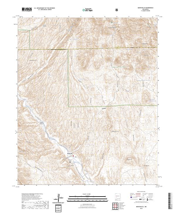
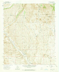 1961 Monticello1964 Print · USGSSierra County ranching and river life are captured here in the early 1960s, centered on the Alamosa River valley. Genealogists and local historians can trace family ties at the Monticello Cem, St Ignatius Ch, and the outlying settlement of Placitas.2 unique versions available
 - 1979 Map of Truth or Consequences
 1979 Truth or Consequences1979 Print · USGSSierra County in the late seventies is a landscape of massive reservoirs and remote mining districts. Researchers can trace the Rio Grande corridor from Truth or Consequences past historic outposts like Winston, Chloride, and the Republic Mine.2 unique versions available
 - 1995 Map of Monticello, 1998 Print
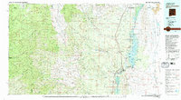
 1995 Monticello1998 Print · USGSSierra County ranchlands and high desert canyons are documented here in the mid-nineties, capturing the remote settlements of Monticello and Placitas. Researchers can trace local landmarks like St Ignatius Church, the Community Ditch, and Red Rock Ranch.
 - 2011 Map of Monticello, 2011 Print
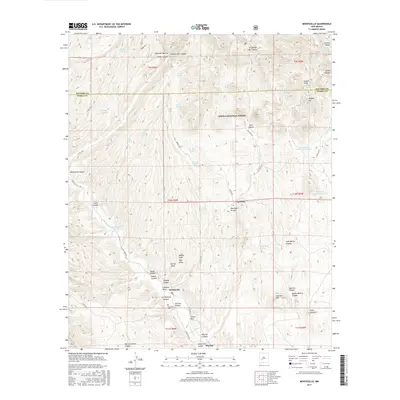
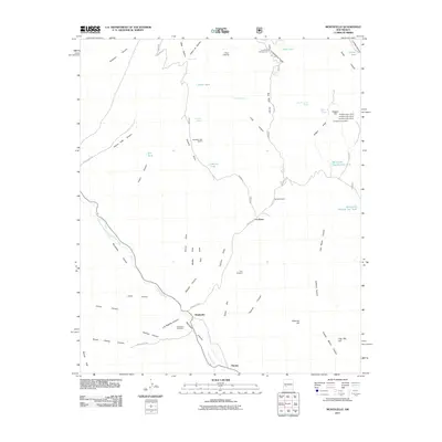 2011 Monticello2011 Print · USGSCovers Placitas, including Monticello, Socorro County, and other nearby areas
 - 2013 Map of Monticello, 2013 Print
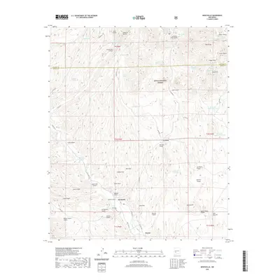
 2013 Monticello2013 Print · USGSCovers Placitas, including Monticello, Socorro County, and other nearby areas
 - 2017 Map of Monticello, 2017 Print
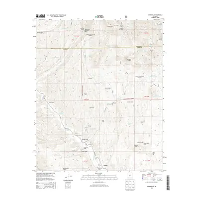
 2017 Monticello2017 Print · USGSCovers Placitas, including Monticello, Socorro County, and other nearby areas
 - 2020 Map of Monticello, 2020 Print
 2020 Monticello2020 Print · USGSCovers Placitas, including Monticello, Socorro County, and other nearby areas
 - 2023 Map of Monticello, 2023 Print
 2023 Monticello2023 Print · USGSSierra County's high-desert canyons and rural settlements are documented here in the early twenty-first century. Genealogists and local historians can trace family-named landmarks like Seferino Hill and Aragon Hill or locate the Monticello Cem.
End of results
Showing maps 1-10 of 10
Top cities near Placitas
Frequently asked questions
- What are the different types of historical maps available for Placitas?
- What is the oldest map of Placitas?
- Where can I purchase historical maps of Placitas for my home or office?
- Where can I download high-res historical maps of Placitas?
- Are there historical topographic maps available for Placitas?
- Is there historical aerial imagery available for Placitas?
- Where are historical maps of Placitas sourced from?