Old Maps of Adobe Ranch, New Mexico for Genealogy
Trace your family roots with 11 historic maps of Adobe Ranch. These high-res maps reveal old neighborhoods, homesites, landmarks, and streets — helping you uncover where your ancestors lived and how the area evolved over time.
- Explore historic neighborhoods: Identify where your relatives may have lived in the 1800s or 1900s.
- Compare maps over time: Trace the changes in streets, buildings, and landmarks for multi-generational research.
- Perfect for genealogy & ancestry research: Used by family historians and researchers to map out lineage and migration.
These maps are an incredible resource for exploring your personal connection to Adobe Ranch's past.
Adobe Ranch, NM maps
(11)- 1918 Map of Oscura Peak
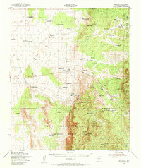
 1918 Oscura Peak1918 Print · USGSSocorro and Lincoln counties appear here in the early twentieth century as a landscape of isolated ranches and rugged mining prospects. Genealogists and historians can locate early family-named sites like Bursum, Estey, and Chihuahua Ranch near the Oscura Range.
 - 1948 Map of Bingham, 1954 Print
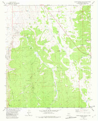
 1948 Bingham1954 Print · USGSRanching life and mining ventures met the dawn of the atomic age in central New Mexico during the late 1940s. Genealogists can trace family holdings like the Coker Headquarters or B Lucero Ranch alongside local landmarks like the White Store and Royal Flush Mine.
 - 1954 Map of Tularosa, 1963 Print
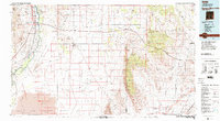
 1954 Tularosa1963 Print · USGSSouth-central New Mexico in the early fifties shows a landscape of desert basins and high peaks under heavy military and water-reclamation use. Trace the path of the Atchison Topeka and Santa Fe Railway past San Marcial and into the massive White Sands Proving Ground.4 unique versions available
 - 1958 Map of Tularosa
 1958 Tularosa1958 Print · USGSSouthern New Mexico in the late fifties shows a landscape of military expansion and deep-rooted river settlements. Trace family history in Truth or Consequences or locate the ruins of San Marcial and the remote Dusty Post Office.2 unique versions available
 - 1982 Map of Garden Spring Canyon
 1982 Garden Spring Canyon1982 Print · USGSSocorro County was home to isolated mining claims and military boundaries in the early eighties. Researchers can trace historic mineral sites like the Royal Flush Mine and remote outposts such as Adobe Ranch or the White Store near the Oscura Mountains.
 - 1982 Map of Oscura Mountains, 1983 Print
 1982 Oscura Mountains1983 Print · USGSSocorro County in the early eighties reveals the meeting point of high-desert wilderness and military history. Genealogists and researchers can trace the Rio Grande settlements of San Antonio and Val Verde or locate the historic Trinity Site.
 - 2010 Map of Garden Spring Canyon, 2010 Print
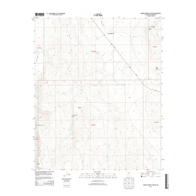
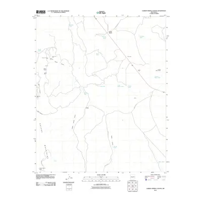 2010 Garden Spring Canyon2010 Print · USGSCovers Adobe Ranch, including Coane, Socorro County, and other nearby areas
 - 2013 Map of Garden Spring Canyon, 2013 Print
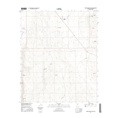
 2013 Garden Spring Canyon2013 Print · USGSCovers Adobe Ranch, including Coane, Socorro County, and other nearby areas
 - 2017 Map of Garden Spring Canyon, 2017 Print
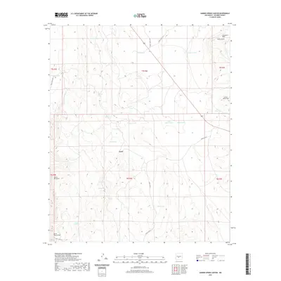
 2017 Garden Spring Canyon2017 Print · USGSCovers Adobe Ranch, including Coane, Socorro County, and other nearby areas
 - 2020 Map of Garden Spring Canyon, 2020 Print
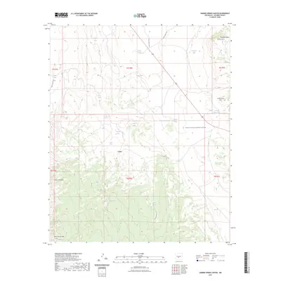
 2020 Garden Spring Canyon2020 Print · USGSCovers Adobe Ranch, including Coane, Socorro County, and other nearby areas
 - 2023 Map of Garden Spring Canyon, 2023 Print
 2023 Garden Spring Canyon2023 Print · USGSSocorro County's high-desert military landscape is revealed in this modern survey of the restricted mountain and mesa country. Researchers can trace land-use patterns through isolated cattle tanks and springs like Julian Tanks, Garden Spring, and Lonnie Moon Tank.
End of results
Showing maps 1-11 of 11
Frequently asked questions
- What are the different types of historical maps available for Adobe Ranch?
- What is the oldest map of Adobe Ranch?
- Where can I purchase historical maps of Adobe Ranch for my home or office?
- Where can I download high-res historical maps of Adobe Ranch?
- Are there historical topographic maps available for Adobe Ranch?
- Is there historical aerial imagery available for Adobe Ranch?
- Where are historical maps of Adobe Ranch sourced from?