Old Maps of San Antonito, New Mexico for Hiking & Exploration
Hike through history with 10 historic maps of San Antonito. Explore old trails, ghost towns, and forgotten backroads — perfect for outdoor adventurers and local explorers.
- Rediscover forgotten places: Map out old mining camps, roads, and footpaths that no longer exist on modern maps.
- Layer with modern tools: Combine with LiDAR or satellite views to plan hikes through historical terrain.
- Made for exploration: Popular among hikers, overlanders, and local history lovers.
Use these maps to find adventure and explore the hidden past of San Antonito.
San Antonito, NM maps
(10)- 1948 Map of San Antonio, 1954 Print
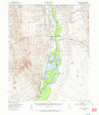 1948 San Antonio1954 Print · USGSThe Rio Grande valley in the years following the war reveals a landscape of railroad towns and vast migratory bird habitats. Genealogists and historians can trace family landholdings from Jacobo Sedillo Ranch to San Antonio, alongside the Atchison Topeka and Santa Fe rail line.2 unique versions available
 - 1954 Map of Tularosa, 1963 Print
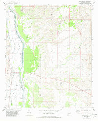
 1954 Tularosa1963 Print · USGSSouth-central New Mexico in the early fifties shows a landscape of desert basins and high peaks under heavy military and water-reclamation use. Trace the path of the Atchison Topeka and Santa Fe Railway past San Marcial and into the massive White Sands Proving Ground.4 unique versions available
 - 1958 Map of Tularosa
 1958 Tularosa1958 Print · USGSSouthern New Mexico in the late fifties shows a landscape of military expansion and deep-rooted river settlements. Trace family history in Truth or Consequences or locate the ruins of San Marcial and the remote Dusty Post Office.2 unique versions available
 - 1981 Map of San Antonio, 1982 Print
 1981 San Antonio1982 Print · USGSSocorro County’s river valley is captured here in the early eighties, showcasing a landscape of complex irrigation and railroad history. Researchers can trace the Atchison Topeka and Santa Fe through San Antonio, locate Gallegos Well, and find an Old Railroad Grade in the desert hills.
 - 1982 Map of Oscura Mountains, 1983 Print
 1982 Oscura Mountains1983 Print · USGSSocorro County in the early eighties reveals the meeting point of high-desert wilderness and military history. Genealogists and researchers can trace the Rio Grande settlements of San Antonio and Val Verde or locate the historic Trinity Site.
 - 2010 Map of San Antonio, 2010 Print
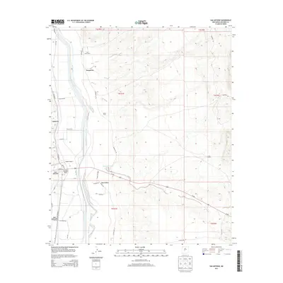
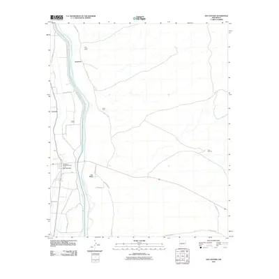 2010 San Antonio2010 Print · USGSCovers San Antonito, including Laborcita, San Antonio, and other nearby areas
 - 2013 Map of San Antonio, 2013 Print
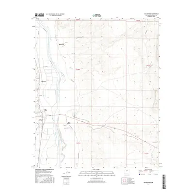
 2013 San Antonio2013 Print · USGSCovers San Antonito, including Laborcita, San Antonio, and other nearby areas
 - 2017 Map of San Antonio, 2017 Print
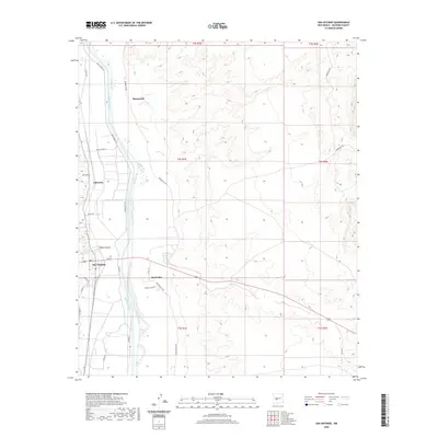
 2017 San Antonio2017 Print · USGSCovers San Antonito, including Laborcita, San Antonio, and other nearby areas
 - 2020 Map of San Antonio, 2020 Print
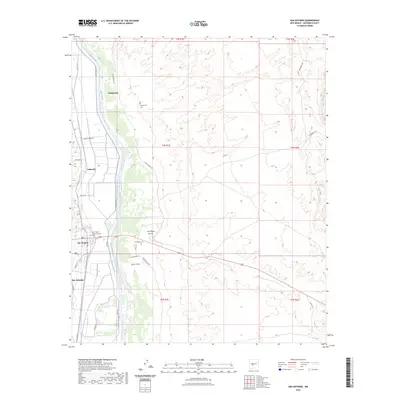
 2020 San Antonio2020 Print · USGSCovers San Antonito, including Laborcita, San Antonio, and other nearby areas
 - 2023 Map of San Antonio, 2023 Print
 2023 San Antonio2023 Print · USGSThe Rio Grande valley in Socorro County comes to life in this modern survey of its irrigation-driven settlements. Genealogists can locate family sites at the San Antonio Roman Catholic Cem, Bosquecito Cem, and along San Antonio Ditch.
End of results
Showing maps 1-10 of 10
Top cities near San Antonito
Frequently asked questions
- What are the different types of historical maps available for San Antonito?
- What is the oldest map of San Antonito?
- Where can I purchase historical maps of San Antonito for my home or office?
- Where can I download high-res historical maps of San Antonito?
- Are there historical topographic maps available for San Antonito?
- Is there historical aerial imagery available for San Antonito?
- Where are historical maps of San Antonito sourced from?