Old Maps of Val Verde, New Mexico for Metal Detecting
Plan your next treasure hunt with 10 historic maps of Val Verde. Find old homesites, ghost towns, trails, and gathering spots that may be lost to time — perfect for identifying promising metal detecting locations.
- Locate forgotten sites: Uncover places like long-lost settlements, abandoned rail lines, or gathering spots.
- Plan better hunts: Use map overlays combined with LiDAR or satellite views to narrow in on historically rich areas.
- Made for detectorists: Thousands of hobbyists use these maps to discover relics, coins, and hidden history.
Use these historic maps to boost your research and find new opportunities beneath the surface of Val Verde.
Val Verde, NM maps
(10)- 1948 Map of Val Verde, 1954 Print
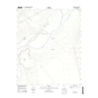
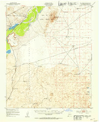 1948 Val Verde1954 Print · USGSThe Rio Grande valley south of Socorro is captured here shortly after the war, showing the vital rail corridor through the Pedro Armendaris Grant. Genealogists and historians can trace the remote ranching life at Bruton Ranch and the lost structures near San Marcial.2 unique versions available
 - 1954 Map of Tularosa, 1963 Print
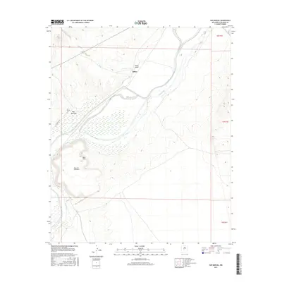
 1954 Tularosa1963 Print · USGSSouth-central New Mexico in the early fifties shows a landscape of desert basins and high peaks under heavy military and water-reclamation use. Trace the path of the Atchison Topeka and Santa Fe Railway past San Marcial and into the massive White Sands Proving Ground.4 unique versions available
 - 1958 Map of Tularosa
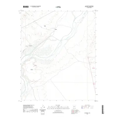
 1958 Tularosa1958 Print · USGSSouthern New Mexico in the late fifties shows a landscape of military expansion and deep-rooted river settlements. Trace family history in Truth or Consequences or locate the ruins of San Marcial and the remote Dusty Post Office.2 unique versions available
 - 1982 Map of San Marcial
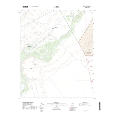
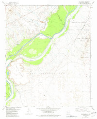 1982 San Marcial1982 Print · USGSSocorro County's river valley and railroad corridor are captured here during the early eighties, showing a landscape defined by flood control and desert geography. Genealogists and historians can locate the Val Verde (Site), the site of San Marcial, and remote landmarks like Mesa Camp.
 - 1982 Map of Oscura Mountains, 1983 Print
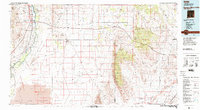 1982 Oscura Mountains1983 Print · USGSSocorro County in the early eighties reveals the meeting point of high-desert wilderness and military history. Genealogists and researchers can trace the Rio Grande settlements of San Antonio and Val Verde or locate the historic Trinity Site.
 - 2010 Map of San Marcial, 2010 Print
 2010 San Marcial2010 Print · USGSCovers Val Verde, including San Marcial, Socorro County, and other nearby areas
 - 2013 Map of San Marcial, 2013 Print
 2013 San Marcial2013 Print · USGSCovers Val Verde, including San Marcial, Socorro County, and other nearby areas
 - 2017 Map of San Marcial, 2017 Print
 2017 San Marcial2017 Print · USGSCovers Val Verde, including San Marcial, Socorro County, and other nearby areas
 - 2020 Map of San Marcial, 2020 Print
 2020 San Marcial2020 Print · USGSCovers Val Verde, including San Marcial, Socorro County, and other nearby areas
 - 2023 Map of San Marcial, 2023 Print
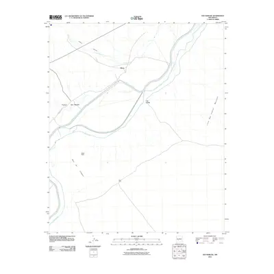
 2023 San Marcial2023 Print · USGSThe Rio Grande valley in Socorro County comes into focus in this contemporary survey of its wetlands and desert mesas. Local historians can pinpoint San Marcial and San Marcial Cem while tracing the edges of the Little San Pascual Wilderness.
End of results
Showing maps 1-10 of 10
Frequently asked questions
- What are the different types of historical maps available for Val Verde?
- What is the oldest map of Val Verde?
- Where can I purchase historical maps of Val Verde for my home or office?
- Where can I download high-res historical maps of Val Verde?
- Are there historical topographic maps available for Val Verde?
- Is there historical aerial imagery available for Val Verde?
- Where are historical maps of Val Verde sourced from?