
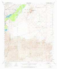
1948 Map of Val Verde
USGS Topo · Published 1954About this map
Pedro Armendaris Grant lands dominate the western landscape of this mid-century survey, where the Rio Grande carves a fertile corridor through the high desert. The Atchison Topeka and Santa Fe Railway runs parallel to the river, serving small rail-stops and settlements like Tiffany and Pope Siding. To the east, the vast Lava fields and topographic features like Black Mesa and Little San Pasqual Mountain define the arid terrain.
Find a feature on this map
43 named features on this map. Tap any name to fly to it.
Don’t see what you’re looking for? This feature index may not catch every label — zoom into the map to look around manually.
Map Details
Editions of this 1948 Val Verde Map
2 editions found
Other maps of this area

1916 · Salinas Peak
USGS Topo · 1:125,000

1948 · Carthage
USGS Topo · 1:62,500

1948 · Granjean Well
USGS Topo · 1:62,500

1948 · San Antonio
USGS Topo · 1:62,500

1948 · Malpais Well
USGS Topo · 1:62,500

1948 · Salinas Peak
USGS Topo · 1:62,500

1954 · Tularosa
USGS Topo · 1:250,000

1958 · Tularosa
USGS Topo · 1:250,000

1961 · Paraje Well
USGS Topo · 1:24,000

1961 · Fort Craig
USGS Topo · 1:24,000