Old Maps of Servilleta, New Mexico for Hiking & Exploration
Hike through history with 10 historic maps of Servilleta. Explore old trails, ghost towns, and forgotten backroads — perfect for outdoor adventurers and local explorers.
- Rediscover forgotten places: Map out old mining camps, roads, and footpaths that no longer exist on modern maps.
- Layer with modern tools: Combine with LiDAR or satellite views to plan hikes through historical terrain.
- Made for exploration: Popular among hikers, overlanders, and local history lovers.
Use these maps to find adventure and explore the hidden past of Servilleta.
Servilleta, NM maps
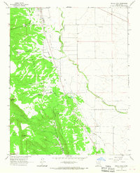
(10)- 1954 Map of Raton, 1963 Print
 1954 Raton1963 Print · USGSNorthern New Mexico's high-country and plains are documented here in the early sixties, showing the region's ranching and mining infrastructure. Trace the legacy of the Maxwell Land Grant, locate remote rural sites like Tafoya School, and follow the Atchison Topeka and Santa Fe Railway through the heart of Raton.3 unique versions available
 - 1958 Map of Raton
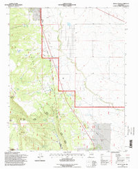
 1958 Raton1958 Print · USGSNorthern New Mexico and the Colorado borderlands are mapped here in the late fifties, showcasing a landscape of high peaks and historic land grants. Genealogists and historians can trace families across Picuris Pueblo, find old schoolhouses like Piedra Lumbre School, or follow the Atchison Topeka and Santa Fe rail line.3 unique versions available
 - 1963 Map of Petaca Peak, 1967 Print
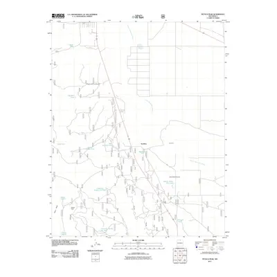
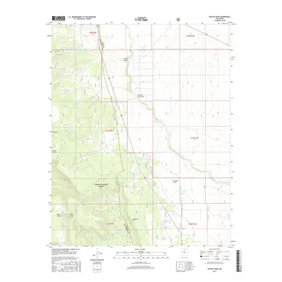
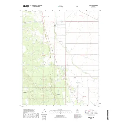
 1963 Petaca Peak1967 Print · USGSNorthern New Mexico in the early sixties reveals a landscape shaped by timber and ranching at the edge of the Carson National Forest. Researchers can trace the path of the Old Railroad Grade near Petaca Peak and locate historical water sources like Servilleta Tank.
 - 1982 Map of Wheeler Peak, 1983 Print
 1982 Wheeler Peak1983 Print · USGSNorthern New Mexico in the early eighties shows a high-altitude landscape of historic mining camps and massive land grants. Researchers can trace the Old Railroad Grade near Elizabethtown or locate remote sites like the French-Henry Mine and Vermejo Park.
 - 1995 Map of Petaca Peak, 1998 Print
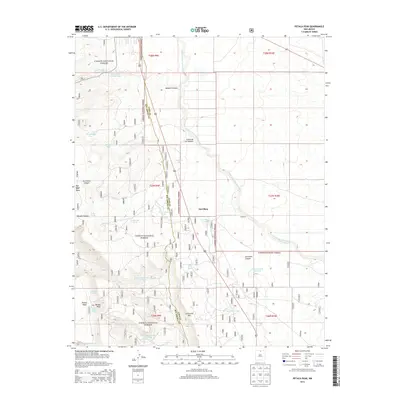
 1995 Petaca Peak1998 Print · USGSTaos and Rio Arriba counties are captured here in the mid-nineties, showing the intersection of national forest lands and the historical Petaca Grant. Researchers can trace the path of the Old Railroad Grade or locate water features like Owl Trick Tank and Servilleta Tank.
 - 2011 Map of Petaca Peak, 2011 Print
 2011 Petaca Peak2011 Print · USGSCovers Servilleta, including Rio Arriba County, Taos County, and other nearby areas
 - 2013 Map of Petaca Peak, 2013 Print
 2013 Petaca Peak2013 Print · USGSCovers Servilleta, including Rio Arriba County, Taos County, and other nearby areas
 - 2017 Map of Petaca Peak, 2017 Print
 2017 Petaca Peak2017 Print · USGSCovers Servilleta, including Rio Arriba County, Taos County, and other nearby areas
 - 2020 Map of Petaca Peak, 2020 Print
 2020 Petaca Peak2020 Print · USGSCovers Servilleta, including Rio Arriba County, Taos County, and other nearby areas
 - 2023 Map of Petaca Peak, 2023 Print
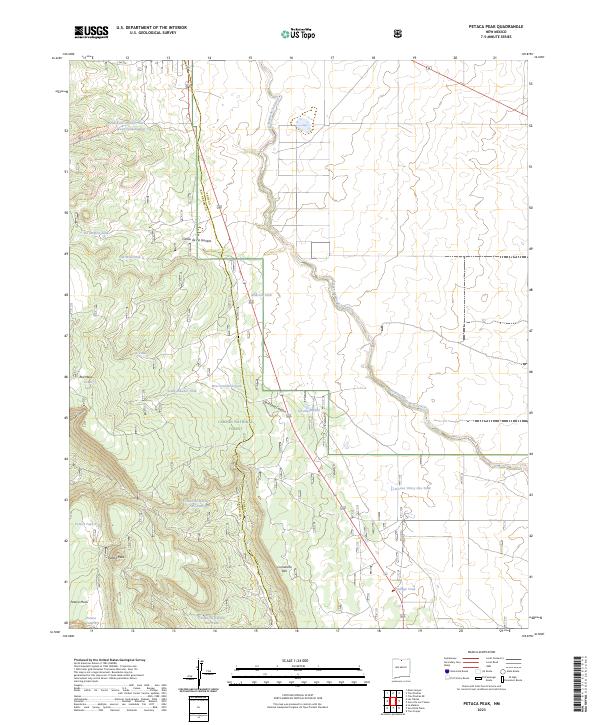 2023 Petaca Peak2023 Print · USGSNorthern New Mexico's high-elevation range comes into focus in this recent survey of the borderlands between Rio Arriba and Taos counties. Researchers can trace the ranching infrastructure across Petaca Peak and Carson National Forest, including historic landmarks like Ambrose Tank and Comanche Rim.
End of results
Showing maps 1-10 of 10
Frequently asked questions
- What are the different types of historical maps available for Servilleta?
- What is the oldest map of Servilleta?
- Where can I purchase historical maps of Servilleta for my home or office?
- Where can I download high-res historical maps of Servilleta?
- Are there historical topographic maps available for Servilleta?
- Is there historical aerial imagery available for Servilleta?
- Where are historical maps of Servilleta sourced from?