Old Maps of Moses, New Mexico for Academic Research
Study the evolution of Moses with 11 high-resolution historic maps. Whether you're teaching, researching, or modeling changes in land use, these maps provide essential visual documentation of urban, environmental, and geographic change.
- Analyze long-term change: Track patterns in development, transportation, and natural features.
- Ideal for environmental or urban studies: Support academic projects with primary historical map data.
- Use in the classroom or lab: Educators and researchers rely on these maps to bring historical context to life.
These maps are a powerful tool for teaching, research, and visualizing how Moses has changed over the decades.
Moses, NM maps
(11)- 1954 Map of Dalhart, 1967 Print
 1954 Dalhart1967 Print · USGSThe High Plains at the junction of four states come alive in the mid-fifties, showing a landscape of rail-hub towns and cattle country. Trace the Old Santa Fe Trail or locate mid-century industrial sites like the Dry ice plant and Carbon Dioxide Works.2 unique versions available
 - 1958 Map of Dalhart
 1958 Dalhart1958 Print · USGSThe High Plains of the tri-state border region come alive in this mid-century survey of the ranching and rail territory around the Texas Panhandle. Genealogists and historians can trace the paths of the Atchison Topeka & Santa Fe Ry, military outposts like Dalhart Air Force No 1, and early settlements such as Pasamonte and Texline.2 unique versions available
 - 1962 Map of Dalhart
 1962 Dalhart1962 Print · USGSThe High Plains and volcanic peaks of the tri-state area are shown in detail during the early sixties. Genealogists and historians can trace the rail corridors of the Fort Worth and Denver and find industrial sites like the Cactus Ordnance Works or the Beaver Meade & Englewood Grain Elevator.
 - 1972 Map of Moses, 1975 Print
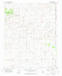 1972 Moses1975 Print · USGSThe high plains of the New Mexico-Oklahoma border are documented here in the 1970s, featuring the historic Santa Fe Trail (Cimarron Cutoff). Trace local history through Moses Cem, the Knowles School, and the Historical Marker Mc Ness Crossing.
 - 1982 Map of Capulin Mountain
 1982 Capulin Mountain1982 Print · USGSNortheastern New Mexico in the early eighties remains a landscape defined by volcanic peaks and the historical tracks of the Santa Fe Trail. Researchers can trace old rail stops along the Colorado and Southern line and find landmarks like Rabbit Ear Mountain and Folsom.2 unique versions available
 - 1998 Map of Moses, 2001 Print
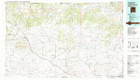
 1998 Moses2001 Print · USGSThe high plains of Union County are captured here in the late twentieth century, showing a landscape defined by the historic Santa Fe Trail. Genealogists and local historians can locate early burial sites like Puertocito Cem and landmarks such as the Knowles Sch and Old Moses.
 - 2011 Map of Moses, 2011 Print
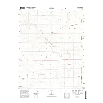
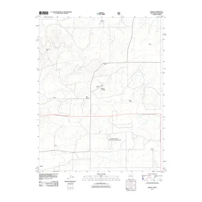 2011 Moses2011 Print · USGSCovers Moses, including Old Moses, McNees Crossing, and other nearby areas
 - 2013 Map of Moses, 2013 Print
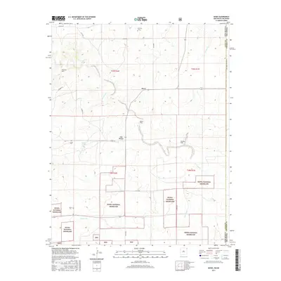
 2013 Moses2013 Print · USGSCovers Moses, including Old Moses, McNees Crossing, and other nearby areas
 - 2017 Map of Moses, 2017 Print
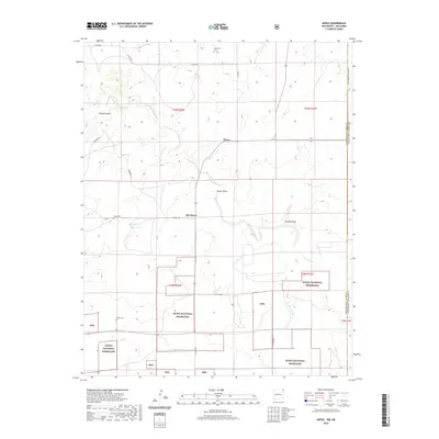
 2017 Moses2017 Print · USGSCovers Moses, including Old Moses, McNees Crossing, and other nearby areas
 - 2020 Map of Moses, 2020 Print
 2020 Moses2020 Print · USGSCovers Moses, including Old Moses, McNees Crossing, and other nearby areas
 - 2023 Map of Moses, 2023 Print
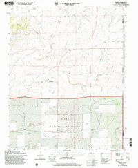
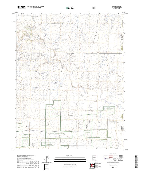 2023 Moses2023 Print · USGSThe high plains of Union County, New Mexico, are shown here as they appear today, along the state line with Oklahoma. Researchers can trace the heritage of local ranching and settlement through sites like Old Moses, the Moses Cemetery, and Correo Spring.
End of results
Showing maps 1-11 of 11
Frequently asked questions
- What are the different types of historical maps available for Moses?
- What is the oldest map of Moses?
- Where can I purchase historical maps of Moses for my home or office?
- Where can I download high-res historical maps of Moses?
- Are there historical topographic maps available for Moses?
- Is there historical aerial imagery available for Moses?
- Where are historical maps of Moses sourced from?