Old Maps of Medusa, Rensselaerville
Explore 23 old maps of Medusa, spanning from 1893 to today. These high-resolution historic maps reveal how streets, neighborhoods, landmarks, and natural features evolved over time — perfect for genealogy, metal detecting, research, and local history exploration.
What you can do with these maps:
- See how Medusa changed over time: Compare historical maps to modern-day views to trace roads, homesites, rail lines & more.
- View detailed metadata: Each map includes creators, publishers, year, scale, and archive source.
- Overlay maps with satellite & LiDAR: Visualize the past alongside modern tools to explore terrain & human change.
- Trusted historical sources: Maps sourced from the USGS, Library of Congress, and other archives.
- Access maps your way: View online, download high-res files, or order prints for personal or research use.
Start exploring old maps of Medusa to uncover forgotten places, hidden landmarks, and the deep history beneath your feet.
Medusa, Rensselaerville maps
(23)- 1893 Map of Durham
 1893 Durham1893 Print · USGSThe northern Catskill foothills and the Greene-Albany county line appear here in the early 1890s, when valley farming and small-scale industry defined the region. Genealogists and hikers can trace the original paths to Union Society, Cairo Forge, and the high peaks of the Black Head Mountains.
 - 1894 Map of Durham
 1894 Durham1894 Print · USGSThe northern Catskills transition from rolling valley farms to high mountain peaks in the late nineteenth century. Genealogists and hikers can trace old routes between Preston Hollow, Hensonville, and the summits of the Black Head Mountains.10 unique versions available
 - 1945 Map of Greenville, 1960 Print
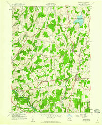 1945 Greenville1960 Print · USGSThe Catskill foothills of Albany and Greene Counties appear here at the end of the war, showing a landscape of tight-knit rural hamlets. Researchers can trace family history through landmarks like Smith Corner, Westerlo Central Cem, and School No 6.2 unique versions available
 - 1945 Map of Durham, 1967 Print
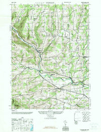 1945 Durham1967 Print · USGSThe northern Catskills appear here in the mid-1940s, showing a transition toward centralized education and post-war rural life. Researchers can trace historic hamlets like Preston Hollow and find family names at Oak Hill Cem or Brookside Cem.
 - 1946 Map of Durham
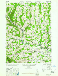 1946 Durham1946 Print · USGSThe Catskill foothills in the mid-1940s reveal a network of isolated hamlets and upland farms. Genealogists can trace family names and local landmarks through sites like Brookside Cem, Potter Hollow, and the Cheese Hill School.2 unique versions available
 - 1946 Map of Greenville
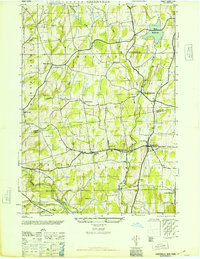 1946 Greenville1946 Print · USGSThe rural landscapes of Albany and Greene Counties are captured here in the mid-1940s, showing the quiet transition from farmland to foothills. Genealogists can locate family landmarks like O'Hara Corners, Stone Bridge Cem, and various rural schoolhouses.
 - 1948 Map of Binghamton, 1980 Print
 1948 Binghamton1980 Print · USGSCentral New York and the Southern Tier thrive in the late 1940s as a hub of rail traffic and mountain industry. Researchers can trace historic transit lines like the Erie Railroad through Binghamton or find old valley settlements near Oneonta and Delhi.
 - 1950 Map of Binghamton
 1950 Binghamton1950 Print · USGSBinghamton and the surrounding Southern Tier are shown in the mid-century era, highlighting the intricate rail and river networks that drove local industry. Researchers can trace the path of the Erie Railroad and locate landmarks from Otsego Lake to Sidney Mountain.2 unique versions available
 - 1958 Map of Binghamton
 1958 Binghamton1958 Print · USGSCentral New York in the late fifties was a network of manufacturing cities and river valleys connected by vital rail lines. Genealogists and historians can trace family roots in Oneonta, Norwich, and Cooperstown or locate long-standing farms along Schoharie Creek.
 - 1963 Map of Binghamton
 1963 Binghamton1963 Print · USGSThe Southern Tier and Catskill peaks are shown in the early sixties as new reservoirs reshaped the valleys. Trace historic rail corridors like the Erie Lackawanna RR and explore lakeside settlements such as Cooperstown and Oneonta.
 - 1967 Map of Durham
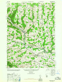 1967 Durham1967 Print · USGSThe northern Catskill foothills come alive in this mid-century survey of the Albany and Greene County borderlands. Genealogists can trace family names through landmarks like Brookside Cem, Potter Hollow, and the Cheese Hill School.
 - 1980 Map of Greenville, 1981 Print
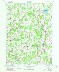 1980 Greenville1981 Print · USGSThe Albany and Greene County borderlands in the early eighties show a landscape of hamlets connected by winding creeks and country roads. Genealogists and historians can trace family burial sites like Locust Cem and rural settlements such as South Westerlo and Norton Hill.
 - 1986 Map of Pepacton Reservoir
 1986 Pepacton Reservoir1986 Print · USGSThe Catskills in the mid-eighties show a landscape shaped by the Pepacton Reservoir and protected wilderness. Local historians can trace mountain rail corridors like the Delaware & Ulster RR and locate high-elevation landmarks from Slide Mountain to Hunter Mountain.2 unique versions available
 - 2010 Map of Durham, 2010 Print
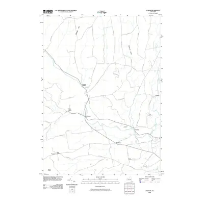 2010 Durham2010 Print · USGSThe rural hamlets of Greene County are captured here in the early twenty-first century, showing a landscape of deep valleys and creek-side settlements. Genealogists and local historians can trace family roots through sites like Brookside Cemetery, West Durham, and Medusa.
 - 2010 Map of Greenville, 2010 Print
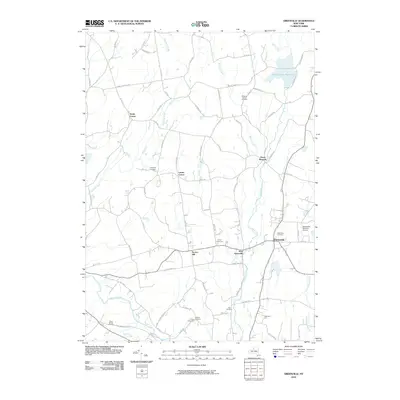 2010 Greenville2010 Print · USGSThe rural landscapes of Greene County come into focus in the early 21st century, showing a network of hamlets and family-named corners. Genealogists can trace local history through sites like Westerlo Central Cemetery, Norton Hill, and O'Hara Corners.
 - 2013 Map of Greenville, 2013 Print
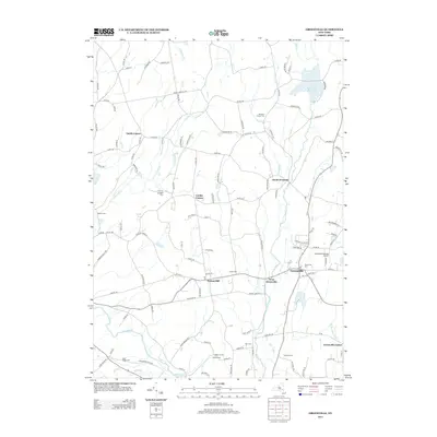 2013 Greenville2013 Print · USGSGreenville and its surrounding rural hamlets are mapped here in the early twenty-first century, showing a landscape defined by historic crossroads and family cemeteries. Trace local lineage and land use through features like Tschinkel Farm, O'Hara Corners, and the Greenville-rainbow Airport.
 - 2013 Map of Durham, 2013 Print
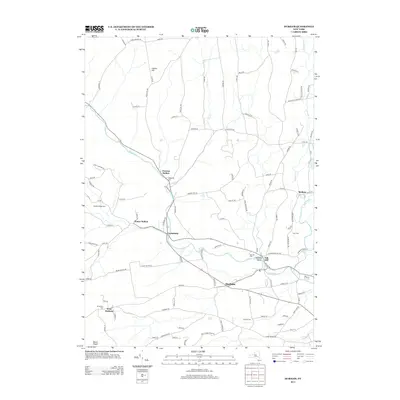 2013 Durham2013 Print · USGSGreene County hamlets follow the winding waters of Catskill Cr through the Catskill foothills in this early twenty-first-century survey. Researchers can trace family roots through several local burial grounds like Durham Cem, Pratt Cem, and Oak Hill Cem.
 - 2016 Map of Durham, 2016 Print
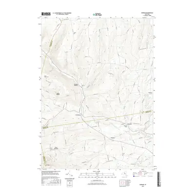 2016 Durham2016 Print · USGSThe northern Catskill foothills and the tri-county border of Albany, Greene, and Schoharie are meticulously detailed in this modern survey. Genealogists and local historians can trace family locations through Preston Hollow, Cooksburg, and cemeteries like Brookside Cem and Pratt Cem.
 - 2016 Map of Greenville, 2016 Print
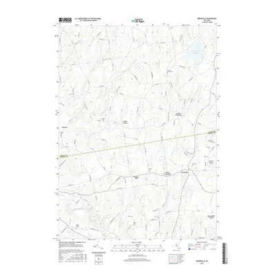 2016 Greenville2016 Print · USGSThe foothills of northern Greene County appear in great detail here during the mid-2010s, showing a landscape of traditional hamlets and family farmsteads. Researchers can locate numerous local burial sites like Locust Cemetery and trace the paths of Catskill Creek and Jan De Bakkers Kill.
 - 2019 Map of Durham, 2019 Print
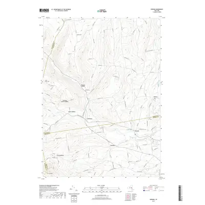 2019 Durham2019 Print · USGSThe foothills of the northern Catskills are revealed in this modern survey of Greene and Albany counties. Trace the paths of early settlers through the valleys of Catskill Creek and discover family plots at Oak Hill Cem and Brookside Cem.
 - 2019 Map of Greenville, 2019 Print
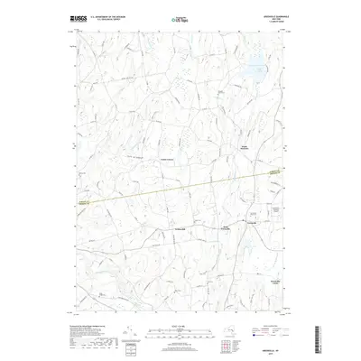 2019 Greenville2019 Print · USGSGreenville and the northern Catskill foothills are shown here in the late 2010s, capturing the area's rural character and complex water networks. Genealogists can locate numerous burial sites such as Craw Cem and O'Hara Cem, or trace the course of Eightmile Cr.
 - 2023 Map of Durham, 2023 Print
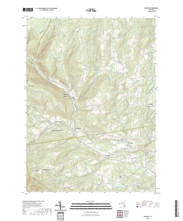 2023 Durham2023 Print · USGSThe northern Catskills around the Greene and Albany county line come into focus in this recent survey. Genealogists and local historians can trace the hamlets of Potter Hollow, Oak Hill, and Medusa, alongside landmarks like Brookside Cem and Mount Pisgah.
 - 2023 Map of Greenville, 2023 Print
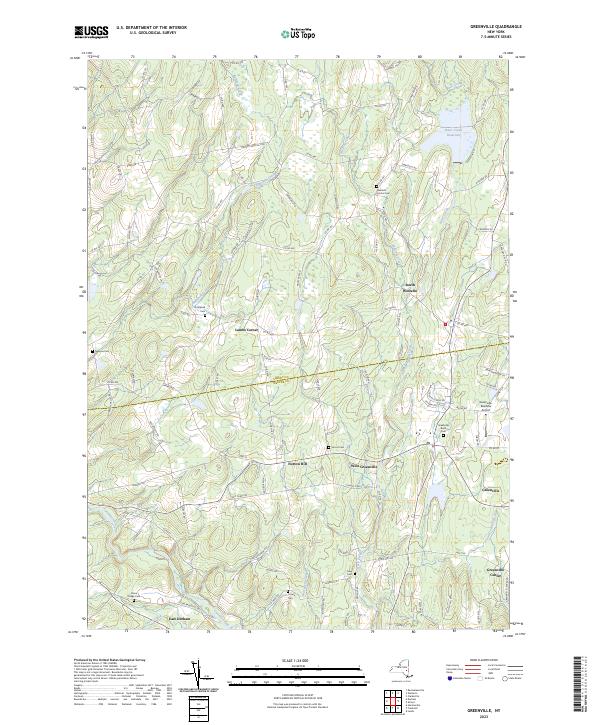 2023 Greenville2023 Print · USGSUpper Greene and Albany Counties are documented in this contemporary survey, showing the landscape between the Catskills and the capital region. Genealogists can trace burial sites like Greenville Rural Cemetery and Stone Bridge Cemetery alongside hamlets like Lambs Corner.
End of results
Showing maps 1-23 of 23
Top cities near Medusa
- Guilderland historical maps
- Catskill historical maps
- New Scotland historical maps
- Coxsackie historical maps
- Coeymans historical maps
- Cairo historical maps
See more
Frequently asked questions
- What are the different types of historical maps available for Medusa?
- What is the oldest map of Medusa?
- Where can I purchase historical maps of Medusa for my home or office?
- Where can I download high-res historical maps of Medusa?
- Are there historical topographic maps available for Medusa?
- Is there historical aerial imagery available for Medusa?
- Where are historical maps of Medusa sourced from?