Old Maps of Cuba, New York for Academic Research
Study the evolution of Cuba with 38 high-resolution historic maps. Whether you're teaching, researching, or modeling changes in land use, these maps provide essential visual documentation of urban, environmental, and geographic change.
- Analyze long-term change: Track patterns in development, transportation, and natural features.
- Ideal for environmental or urban studies: Support academic projects with primary historical map data.
- Use in the classroom or lab: Educators and researchers rely on these maps to bring historical context to life.
These maps are a powerful tool for teaching, research, and visualizing how Cuba has changed over the decades.
Cuba, NY maps
(38)- 1898 Map of Olean
 1898 Olean1898 Print · USGSCattaraugus County is shown here at the peak of its rail-and-river era, centered on the major industrial junction at Olean. Genealogists and collectors can trace the sprawling network of the Penna. R.R. and locate vanished local landmarks like the Oil Tanks or the distinct formation at Rock City.5 unique versions available
 - 1906 Map of Angelica
 1906 Angelica1906 Print · USGSAllegany County thrived as a railroad and river corridor during the early twentieth century. Researchers can trace the path of the Pennsylvania R R and find long-established villages like Angelica, Fillmore, and the river crossing at Belfast.6 unique versions available
 - 1924 Map of Franklinville
 1924 Franklinville1924 Print · USGSCattaraugus County agricultural life and rail commerce are documented here in the mid-twenties. Genealogists and local historians can trace family roots through numerous rural landmarks like Siloam Church, County Line Cem, and the Checkered School.3 unique versions available
 - 1925 Map of Belmont
 1925 Belmont1925 Print · USGSAllegany County hills and river valleys are shown in the mid-twenties, centered on the railroad hubs and rural townships. Trace the tracks of the Erie RR and Shawmut RR past local landmarks like School No 5 and Richburg.4 unique versions available
 - 1938 Map of Olean, 1955 Print
 1938 Olean1955 Print · USGSOlean and the Allegheny River valley are shown here just before the mid-century, defined by a dense network of Pennsylvania and Erie rail lines. Local historians can trace the development of Westons Mills and the industrial layout near North Olean or locate the Oil Spring Indian Reservation.3 unique versions available
 - 1939 Map of Belmont, 1961 Print
 1939 Belmont1961 Print · USGSAllegany County highlands at the end of the 1930s show a landscape shaped by the Genesee River and the legacy of the Pittsburg Shawmut and Northern RR. Genealogists can trace family school districts like Carnahan Sch or explore the early footprints of Richburg and Little Genesee.2 unique versions available
 - 1941 Map of Angelica
 1941 Angelica1941 Print · USGSAllegany County during the early years of the Second World War was defined by its river-valley rail lines and high-country hamlets. Researchers can trace the legacy of Houghton College, the impact of the Caneadea Dam, and find vanished crossroads like Aristotle and McGrawville.
 - 1942 Map of Franklinville
 1942 Franklinville1942 Print · USGSCattaraugus County during the early war years remains a land of small schoolhouses and essential rail junctions. Trace the family roots of rural New York through local landmarks like Siloam Church, County Line Cem, and the unique Checkered School.
 - 1943 Map of Olean
 1943 Olean1943 Print · USGSCattaraugus County in the late nineteenth century was a corridor of burgeoning rail and industry along the Allegheny. Researchers can trace the path of the Penna. R.R. through old settlements like Hinsdale and Westons Mills, or locate early landmarks like Rock City.
 - 1960 Map of Buffalo
 1960 Buffalo1960 Print · USGSWestern New York and the Niagara Peninsula thrive during the mid-twentieth century industrial peak. Genealogists and historians can trace family-named points and early settlements from Dunkirk Light to the Allegany Indian Reservation.
 - 1961 Map of Cuba, 1963 Print
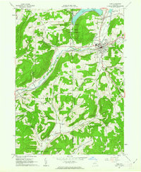 1961 Cuba1963 Print · USGSCattaraugus and Allegany counties were defined by the intersection of rail transport and rural agriculture in the early sixties. Researchers can trace the path of the Pennsylvania railroad, identify the boundaries of the Oil Spring Indian Reservation, and locate family sites near Union Hill Cem.4 unique versions available
 - 1962 Map of Buffalo, 1980 Print
 1962 Buffalo1980 Print · USGSThe Niagara Frontier and Western New York are captured here in the early sixties, showing the vital industrial and maritime nexus between the U.S. and Canada. Researchers can trace the path of the Welland Canal, locate the Allegany Indian Reservation, or find family sites near Chautauqua Lake.2 unique versions available
 - 1963 Map of Rawson, 1964 Print
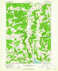 1963 Rawson1964 Print · USGSThe rural borderlands of Cattaraugus and Allegany counties are shown here in the early sixties, highlighting the intersection of farming and state-managed conservation. Researchers can trace family homesteads along White Meetinghouse Road and locate sites like the Rawson Ch or the Erie-Lackawanna Railroad.2 unique versions available
 - 1964 Map of Black Creek, 1965 Print
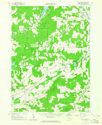 1964 Black Creek1965 Print · USGSAllegany County landscape in the mid-1960s reveals a transition from historic transit corridors to state-managed conservation lands. Genealogists can trace family names through landmarks like Tibbetts Hill and small rural burials at Black Creek Cem and Bellville Cem.3 unique versions available
 - 1965 Map of Friendship, 1966 Print
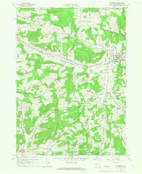 1965 Friendship1966 Print · USGSAllegany County was a hub of rail transport and rural industry in the mid-1960s. Researchers can trace the path of the Erie-Lackawanna railroad or locate historic sites like Sacred Heart Ch and the oil wells in Clarksville.2 unique versions available
 - 1967 Map of Buffalo
 1967 Buffalo1967 Print · USGSWestern New York and the Lake Erie shoreline are shown here during the mid-1960s industrial peak. Researchers can trace the massive rail networks of the Erie Railroad, locate the Cattaraugus Indian Reservation, or find historic sites like Fort Erie.
 - 1973 Map of Buffalo
 1973 Buffalo1973 Print · USGSWestern New York and Ontario's Golden Horseshoe meet in the early seventies, spanning from the industrial waterfronts of Buffalo to the hills of Allegany State Park. Trace the paths of the Welland Canal and Erie Lackawanna railroad through the lakefront towns of Dunkirk and Port Colborne.
 - 1986 Map of Olean
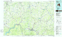 1986 Olean1986 Print · USGSThe Southern Tier and northern Pennsylvania border are captured here in the mid-1980s as the regional rail and river economy evolved. Genealogists and local historians can trace family-named sites across the Allegany Indian Reservation, identify old Oil Field tracts, or locate landmarks like St Bonaventure University and the Tannery.2 unique versions available
 - 2010 Map of Black Creek, 2010 Print
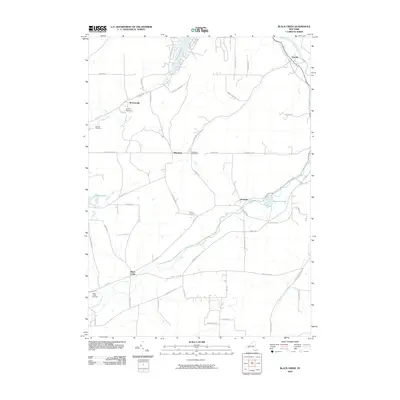 2010 Black Creek2010 Print · USGSAllegany County's rural hamlets and creek valleys are documented here during the early twenty-first century. Genealogists and local historians can locate several family-named burial grounds like Sayers Cemetery and Bellville Cemetery or trace the early paths of Hanging Bog.
 - 2010 Map of Friendship, 2010 Print
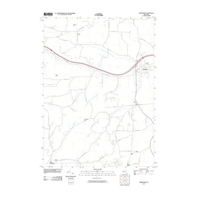 2010 Friendship2010 Print · USGSThe Allegany County countryside near Friendship and Nile is captured here in the early 2000s, showing the intersection of rural life and natural creek valleys. Researchers can locate family heritage sites like Sacred Heart Cemetery, the remote West Clarksville, and landmarks like Dew Airpark.
 - 2010 Map of Rawson, 2010 Print
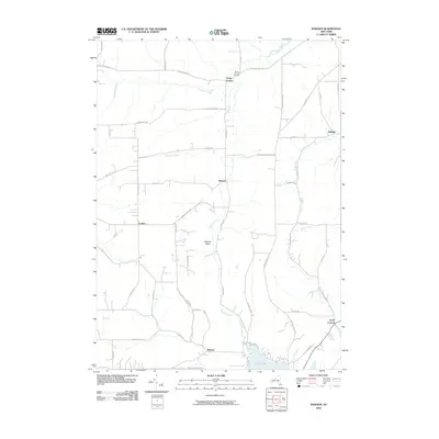 2010 Rawson2010 Print · USGSAllegany County's rural crossroads and winding creek valleys are documented here during the early twenty-first century. Genealogists and local researchers can trace family landmarks and small hamlets like Hardy Corners, Lyndon, and the Hardys Corners Cemetery.
 - 2010 Map of Cuba, 2010 Print
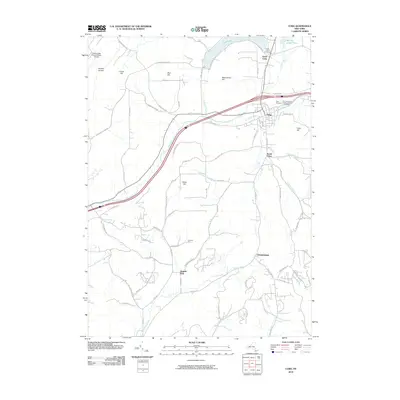 2010 Cuba2010 Print · USGSAllegany and Cattaraugus Counties are shown here during the late 2000s, centered on the village of Cuba and its river valleys. Researchers can trace family sites and old roads near Haskell Flats, Germantown, and the North Cuba Cemetery.
 - 2013 Map of Black Creek, 2013 Print
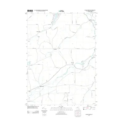 2013 Black Creek2013 Print · USGSThe Genesee River valley in western New York is shown here during a period of modern rural stability. Researchers can trace the historic route of the Genesee Valley Canal and locate family markers at Black Creek Cem or Sayers Cem.
 - 2013 Map of Cuba, 2013 Print
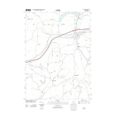 2013 Cuba2013 Print · USGSThe village of Cuba and its rural outskirts are captured in this recent survey, showcasing a landscape shaped by the valleys of Oil Creek. Researchers can trace local burial grounds like N Cuba Cemetery and explore the historic Seneca Oil Spring.
 - 2013 Map of Rawson, 2013 Print
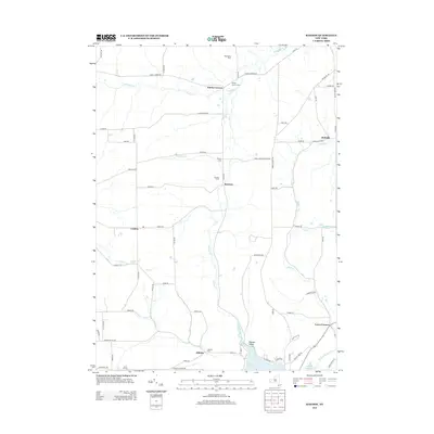 2013 Rawson2013 Print · USGSAllegany County farmland and rural hamlets appear in detail during the early twenty-first century. Researchers can locate family burial sites at Hardys Corners Cem and Abbotts Cem or trace the historical path of the Genesee Valley Canal near Cuba Lake.
Showing maps 1-25 of 38
Top cities near Cuba
- Olean historical maps
- Allegany historical maps
- Portville historical maps
- Franklinville historical maps
- Machias historical maps
- Caneadea historical maps
See more
Top neighborhoods of Cuba
Frequently asked questions
- What are the different types of historical maps available for Cuba?
- What is the oldest map of Cuba?
- Where can I purchase historical maps of Cuba for my home or office?
- Where can I download high-res historical maps of Cuba?
- Are there historical topographic maps available for Cuba?
- Is there historical aerial imagery available for Cuba?
- Where are historical maps of Cuba sourced from?