Old Maps of Wirt, New York for Academic Research
Study the evolution of Wirt with 31 high-resolution historic maps. Whether you're teaching, researching, or modeling changes in land use, these maps provide essential visual documentation of urban, environmental, and geographic change.
- Analyze long-term change: Track patterns in development, transportation, and natural features.
- Ideal for environmental or urban studies: Support academic projects with primary historical map data.
- Use in the classroom or lab: Educators and researchers rely on these maps to bring historical context to life.
These maps are a powerful tool for teaching, research, and visualizing how Wirt has changed over the decades.
Wirt, NY maps
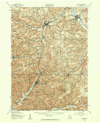
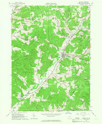
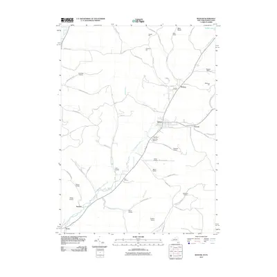
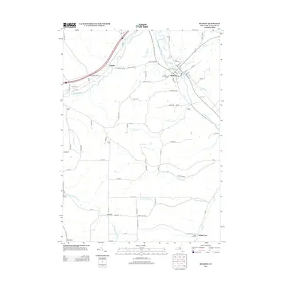
(31)- 1925 Map of Belmont
 1925 Belmont1925 Print · USGSAllegany County hills and river valleys are shown in the mid-twenties, centered on the railroad hubs and rural townships. Trace the tracks of the Erie RR and Shawmut RR past local landmarks like School No 5 and Richburg.4 unique versions available
 - 1939 Map of Belmont, 1961 Print
 1939 Belmont1961 Print · USGSAllegany County highlands at the end of the 1930s show a landscape shaped by the Genesee River and the legacy of the Pittsburg Shawmut and Northern RR. Genealogists can trace family school districts like Carnahan Sch or explore the early footprints of Richburg and Little Genesee.2 unique versions available
 - 1960 Map of Buffalo
 1960 Buffalo1960 Print · USGSWestern New York and the Niagara Peninsula thrive during the mid-twentieth century industrial peak. Genealogists and historians can trace family-named points and early settlements from Dunkirk Light to the Allegany Indian Reservation.
 - 1962 Map of Buffalo, 1980 Print
 1962 Buffalo1980 Print · USGSThe Niagara Frontier and Western New York are captured here in the early sixties, showing the vital industrial and maritime nexus between the U.S. and Canada. Researchers can trace the path of the Welland Canal, locate the Allegany Indian Reservation, or find family sites near Chautauqua Lake.2 unique versions available
 - 1965 Map of Friendship, 1966 Print
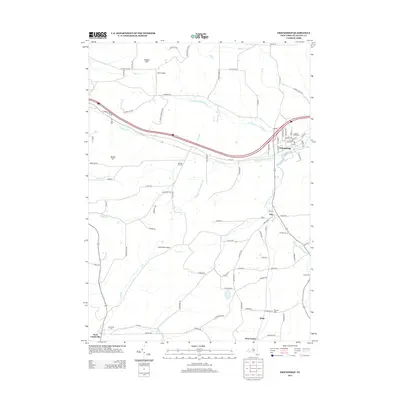
 1965 Friendship1966 Print · USGSAllegany County was a hub of rail transport and rural industry in the mid-1960s. Researchers can trace the path of the Erie-Lackawanna railroad or locate historic sites like Sacred Heart Ch and the oil wells in Clarksville.2 unique versions available
 - 1965 Map of Allentown, 1966 Print
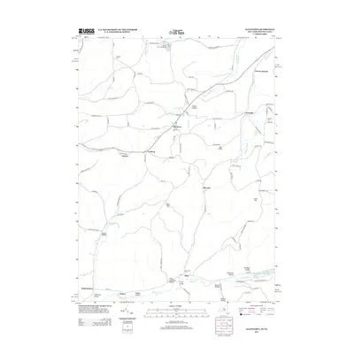
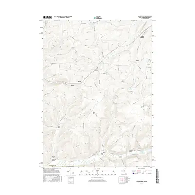
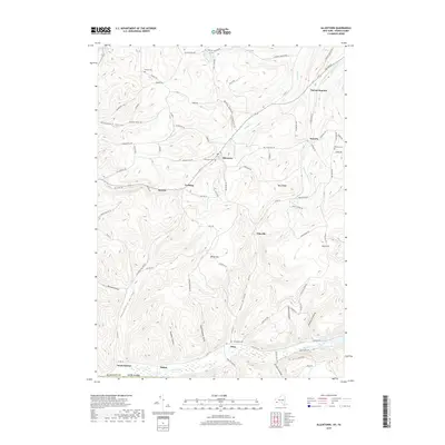
 1965 Allentown1966 Print · USGSAllegany County during the mid-1960s reveals a landscape defined by its petroleum heritage and deep valley settlements. Researchers can trace the extensive network of Oil Wells across Bow Ridge, find family plots at Dimmick Cem, and locate the small communities of Allentown and Petrolia.
 - 1965 Map of Belmont, 1966 Print
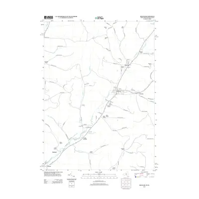
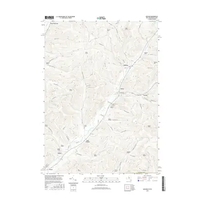
 1965 Belmont1966 Print · USGSAllegany County's river valleys and oil fields come into focus in the mid-1960s as the rail-and-river network of the Genesee continues to shape local life. Genealogists and historians can trace family-named sites across the hills, from Sortore Cem and Higgins to the Erie-Lackawanna rail lines.2 unique versions available
 - 1965 Map of Bolivar, 1967 Print
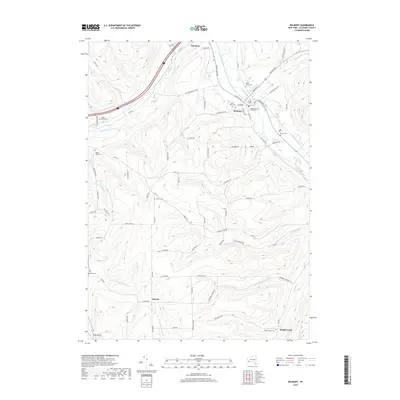
 1965 Bolivar1967 Print · USGSAllegany County oil and gas fields are in full operation during the mid-sixties, showing a landscape shaped by energy and rail. Genealogists can trace family plots at Little Genesee Cem or follow the old Pittsburgh Shawmut and Northern Railroad line.2 unique versions available
 - 1967 Map of Buffalo
 1967 Buffalo1967 Print · USGSWestern New York and the Lake Erie shoreline are shown here during the mid-1960s industrial peak. Researchers can trace the massive rail networks of the Erie Railroad, locate the Cattaraugus Indian Reservation, or find historic sites like Fort Erie.
 - 1973 Map of Buffalo
 1973 Buffalo1973 Print · USGSWestern New York and Ontario's Golden Horseshoe meet in the early seventies, spanning from the industrial waterfronts of Buffalo to the hills of Allegany State Park. Trace the paths of the Welland Canal and Erie Lackawanna railroad through the lakefront towns of Dunkirk and Port Colborne.
 - 1986 Map of Olean
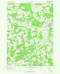
 1986 Olean1986 Print · USGSThe Southern Tier and northern Pennsylvania border are captured here in the mid-1980s as the regional rail and river economy evolved. Genealogists and local historians can trace family-named sites across the Allegany Indian Reservation, identify old Oil Field tracts, or locate landmarks like St Bonaventure University and the Tannery.2 unique versions available
 - 2010 Map of Friendship, 2010 Print
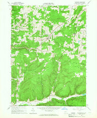
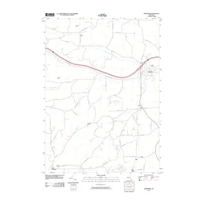 2010 Friendship2010 Print · USGSCovers Wirt, including Cuba, Friendship, and other nearby areas
 - 2010 Map of Belmont, 2010 Print
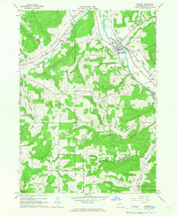
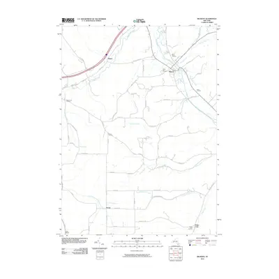 2010 Belmont2010 Print · USGSCovers Wirt, including Wellsville, Amity, and other nearby areas
 - 2010 Map of Allentown, 2010 Print
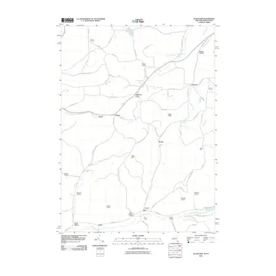 2010 Allentown2010 Print · USGSCovers Wirt, including Wellsville, Bolivar, and other nearby areas
 - 2010 Map of Bolivar, 2010 Print
 2010 Bolivar2010 Print · USGSCovers Wirt, including Bolivar, Genesee, and other nearby areas
 - 2013 Map of Allentown, 2013 Print
 2013 Allentown2013 Print · USGSCovers Wirt, including Wellsville, Bolivar, and other nearby areas
 - 2013 Map of Bolivar, 2013 Print
 2013 Bolivar2013 Print · USGSCovers Wirt, including Bolivar, Genesee, and other nearby areas
 - 2013 Map of Friendship, 2013 Print
 2013 Friendship2013 Print · USGSCovers Wirt, including Cuba, Friendship, and other nearby areas
 - 2013 Map of Belmont, 2013 Print
 2013 Belmont2013 Print · USGSCovers Wirt, including Wellsville, Amity, and other nearby areas
 - 2016 Map of Belmont, 2016 Print
 2016 Belmont2016 Print · USGSCovers Wirt, including Wellsville, Amity, and other nearby areas
 - 2016 Map of Friendship, 2016 Print
 2016 Friendship2016 Print · USGSCovers Wirt, including Cuba, Friendship, and other nearby areas
 - 2016 Map of Bolivar, 2016 Print
 2016 Bolivar2016 Print · USGSCovers Wirt, including Bolivar, Genesee, and other nearby areas
 - 2016 Map of Allentown, 2016 Print
 2016 Allentown2016 Print · USGSCovers Wirt, including Wellsville, Bolivar, and other nearby areas
 - 2019 Map of Allentown, 2019 Print
 2019 Allentown2019 Print · USGSCovers Wirt, including Wellsville, Bolivar, and other nearby areas
 - 2019 Map of Belmont, 2019 Print
 2019 Belmont2019 Print · USGSCovers Wirt, including Wellsville, Amity, and other nearby areas
Showing maps 1-25 of 31
Top cities near Wirt
- Wellsville historical maps
- Wellsville historical maps
- Portville historical maps
- Cuba historical maps
- Caneadea historical maps
- Amity historical maps
See more
Top neighborhoods of Wirt
Frequently asked questions
- What are the different types of historical maps available for Wirt?
- What is the oldest map of Wirt?
- Where can I purchase historical maps of Wirt for my home or office?
- Where can I download high-res historical maps of Wirt?
- Are there historical topographic maps available for Wirt?
- Is there historical aerial imagery available for Wirt?
- Where are historical maps of Wirt sourced from?