
1925 Map of Belmont
USGS Topo · Published 1925About this map
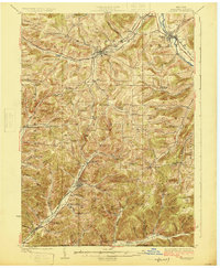
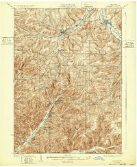
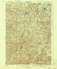
The Genesee River valley and the surrounding ridges of Allegany County are meticulously documented in this mid-1920s survey. The village of Belmont serves as a focal point in the northeast, where the Erie RR follows the river's path, while the Shawmut RR cuts through the western valleys near Bolivar and Friendship. This era reveals a landscape dense with small rural schoolhouses, such as the Pink School and Scott School, marking a period when local education was decentralized across townships like Wirt and Scio. The terrain is characterized by deep hollows and high points like Alma Hill, with the New York Pennsylvania Boundary Line forming the southern limit of the study. The map captures the region's transport network before the dominance of modern highways, showing the early Liberty Highway winding through the hills.
Find a feature on this map
100 named features on this map. Tap any name to fly to it.
Don’t see what you’re looking for? This feature index may not catch every label — zoom into the map to look around manually.
Map Details
Editions of this 1925 Belmont Map
4 editions found
Other maps of this area

1898 · Olean
USGS Topo · 1:62,500

1906 · Angelica
USGS Topo · 1:62,500

1916 · Canaseraga
USGS Topo · 1:62,500

1924 · Franklinville
USGS Topo · 1:62,500

1926 · Wellsville
USGS Topo · 1:62,500

1932 · Genesee
USGS Topo · 1:62,500

1933 · Smethport
USGS Topo · 1:62,500

1934 · Coudersport
USGS Topo · 1:48,000

1937 · Genesee
USGS Topo · 1:62,500

1937 · Smethport
USGS Topo · 1:62,500