
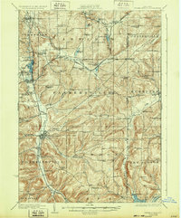
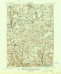
1924 Map of Franklinville
USGS Topo · Published 1924About this map
Ischua Creek and its valley serve as the primary corridor for development and transport through the heart of Cattaraugus County in the early 1920s. This survey captures a network of rural school districts and small rail-dependent settlements at their peak, featuring a high density of local educational sites such as Checkered School, Buffalo Road School, and Meadow View School. The landscape is dominated by the intersecting routes of the Pennsylvania and Rochester and Pittsburgh railroads, which facilitated the growth of shipping points like Elton Sta and Farmersville Station. Near Machias, the presence of the County Farm and proximity to Lime Lake indicate a community structured around shared social services and local recreation. From the heights of Bush Hill to the wetlands around Beaver Lake, the map documents a transition from upland farming to specialized valley infrastructure.
Find a feature on this map
90 named features on this map. Tap any name to fly to it.
Don’t see what you’re looking for? This feature index may not catch every label — zoom into the map to look around manually.
Map Details
Editions of this 1924 Franklinville Map
3 editions found
Other maps of this area

1898 · Olean
USGS Topo · 1:62,500

1900 · Salamanca
USGS Topo · 1:62,500

1905 · Portage
USGS Topo · 1:62,500

1906 · Angelica
USGS Topo · 1:62,500

1923 · Arcade
USGS Topo · 1:62,500

1924 · Ellicottville
USGS Topo · 1:62,500

1925 · Belmont
USGS Topo · 1:62,500

1925 · Springville
USGS Topo · 1:62,500

1925 · Arcade
USGS Topo · 1:62,500

1938 · Salamanca
USGS Topo · 1:62,500