
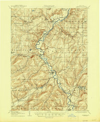
1906 Map of Angelica
USGS Topo · Published 1906About this map
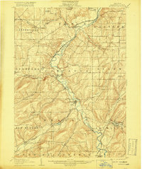
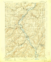
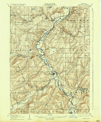
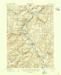
The Genesee River carves a deep valley through the heart of western New York, serving as the primary corridor for both agriculture and industry at the turn of the century. Along its banks, established villages like Belfast and Fillmore grew around the river's power and the transportation routes that followed its course. This 1906 survey captures the era when multiple rail lines competed for dominance in the region, including the Pennsylvania R R and the Rochester Division, which funneled timber and goods from the surrounding hills.
Find a feature on this map
49 named features on this map. Tap any name to fly to it.
Don’t see what you’re looking for? This feature index may not catch every label — zoom into the map to look around manually.
Map Details
Editions of this 1906 Angelica Map
6 editions found
Other maps of this area

1898 · Olean
USGS Topo · 1:62,500

1905 · Portage
USGS Topo · 1:62,500

1905 · Nunda
USGS Topo · 1:62,500

1916 · Canaseraga
USGS Topo · 1:62,500

1923 · Arcade
USGS Topo · 1:62,500

1924 · Franklinville
USGS Topo · 1:62,500

1925 · Belmont
USGS Topo · 1:62,500

1925 · Arcade
USGS Topo · 1:62,500

1926 · Wellsville
USGS Topo · 1:62,500

1938 · Olean
USGS Topo · 1:62,500