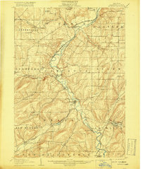
1906 Map of Angelica
USGS Topo · Published 1918About this map
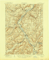
The Genesee River cuts a prominent valley through Allegany County, serving as the primary corridor for both water and rail transportation at the start of the 20th century. This 1903-1904 survey illustrates the industrial and agricultural reliance on the river, with the Pennsylvania R R and the Pittsburgh and Shawmut and Northern Railroad hugging its banks to connect the region's scattered hamlets. Central settlements like Angelica, Belfast, and Fillmore appear as established hubs, while smaller locales such as Oramel and Transit Bridge demonstrate the dense network of rural communities that thrived before the shift toward larger urban centers. The terrain is marked by numerous drainage systems, including Caneadea Creek and Rush Creek, which dictated the placement of early roads and homesteads. Local researchers will find many family-named features like McGrawville and Marshall that pinpoint specific nineteenth-century landholdings.
Find a feature on this map
52 named features on this map. Tap any name to fly to it.
Don’t see what you’re looking for? This feature index may not catch every label — zoom into the map to look around manually.
Map Details
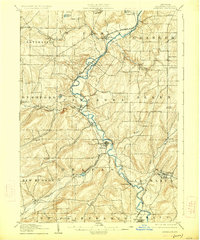
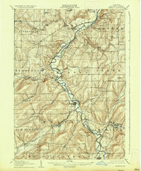
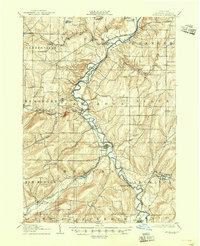
Editions of this 1906 Angelica Map
6 editions found
Other maps of this area

1898 · Olean
USGS Topo · 1:62,500

1905 · Portage
USGS Topo · 1:62,500

1905 · Nunda
USGS Topo · 1:62,500

1906 · Angelica
USGS Topo · 1:62,500

1916 · Canaseraga
USGS Topo · 1:62,500

1923 · Arcade
USGS Topo · 1:62,500

1924 · Franklinville
USGS Topo · 1:62,500

1925 · Belmont
USGS Topo · 1:62,500

1925 · Arcade
USGS Topo · 1:62,500

1926 · Wellsville
USGS Topo · 1:62,500