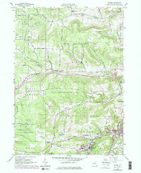
1964 Map of Alfred
USGS Topo · Published 1978About this map
The hills of Allegany County define this mid-century landscape, dominated by the academic hub of Alfred University and the State University of New York. The village of Alfred is central to the area's development, supported by agricultural research at the State University Animal Husbandry Center and transit along the Erie Lackawanna railroad. This survey captures a moment when large tracts were designated as State Reforestation Areas, such as the Birdsall State Reforestation Area, indicating a transition from active timber or farm use to conservation.
Find a feature on this map
69 named features on this map. Tap any name to fly to it.
Don’t see what you’re looking for? This feature index may not catch every label — zoom into the map to look around manually.
Map Details
Editions of this 1964 Alfred Map
3 editions found
Other maps of this area

1915 · Hornell
USGS Topo · 1:62,500

1916 · Canaseraga
USGS Topo · 1:62,500

1918 · Hornell
USGS Topo · 1:62,500

1926 · Wellsville
USGS Topo · 1:62,500

1926 · Greenwood
USGS Topo · 1:62,500

1940 · Canaseraga
USGS Topo · 1:62,500

1950 · Elmira
USGS Topo · 1:250,000

1958 · Elmira
USGS Topo · 1:250,000

1962 · Elmira
USGS Topo · 1:250,000
1964 · Alfred
USGS Topo · 1:24,000