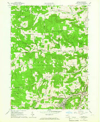
1964 Map of Alfred
USGS Topo · Published 1965About this map
Alfred University and the surrounding collegiate landscape define this mid-century survey of eastern Allegany County. The village of Alfred is a dense hub of institutional activity, including the State University A & T Inst and the State University Animal Husbandry Center, set against a backdrop of extensive State Reforestation Areas. Beyond the campus, the geography follows a pattern of narrow valleys and winding watercourses like Canacadea Creek and McHenry Valley Creek. The Erie Lackawanna RR cuts through the eastern portion of the map, serving Alfred Station and nearby Tinkertown. This era of the 1960s shows a transition from agricultural land to public forest, while the rural fringes maintain older identities in settlements like Bishopville, Karrdale, and Hiltonville. Numerous family and local-history landmarks are preserved, from Lippincott Cem in the north to Maplewood Cem in the south.
Find a feature on this map
75 named features on this map. Tap any name to fly to it.
Don’t see what you’re looking for? This feature index may not catch every label — zoom into the map to look around manually.
Map Details
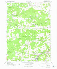
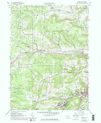
Editions of this 1964 Alfred Map
3 editions found
Other maps of this area

1915 · Hornell
USGS Topo · 1:62,500

1916 · Canaseraga
USGS Topo · 1:62,500

1918 · Hornell
USGS Topo · 1:62,500

1926 · Wellsville
USGS Topo · 1:62,500

1926 · Greenwood
USGS Topo · 1:62,500

1940 · Canaseraga
USGS Topo · 1:62,500

1950 · Elmira
USGS Topo · 1:250,000

1958 · Elmira
USGS Topo · 1:250,000

1962 · Elmira
USGS Topo · 1:250,000
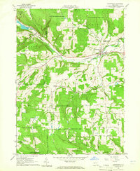
1964 · Canaseraga
USGS Topo · 1:24,000