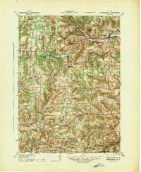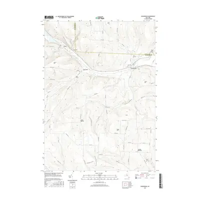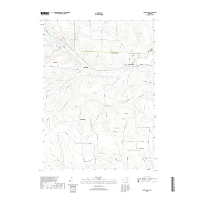
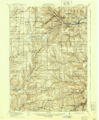
1916 Map of Canaseraga
USGS Topo · Published 1916About this map
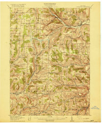
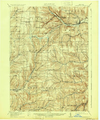
Canaseraga and Swain serve as early 20th-century rail hubs where the Erie RR and Pittsburgh Shawmut and Northern RR navigate the winding valleys of the northern Allegany plateau. The landscape is defined by a dense network of one-room schoolhouses, such as the Jersey Hill School and Thornton School, reflecting a period of decentralized rural education before modern consolidation. Agriculture and small-scale settlement follow the drainage of the Canisteo River and Phillips Creek, with hamlets like Birdsall and West Almond connected by local corridors like the State Road. This survey, conducted by R.C. McKinney and W.H.S. Morey just before the First World War, captures the high-water mark of this rural rail-and-creek economy, featuring notable local landmarks including the County House and the dual-named Whitney Crossings Garwoods Sta.
Find a feature on this map
60 named features on this map. Tap any name to fly to it.
Don’t see what you’re looking for? This feature index may not catch every label — zoom into the map to look around manually.
Map Details
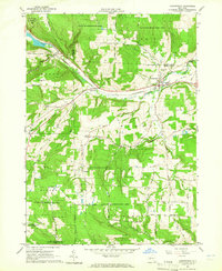
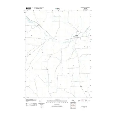
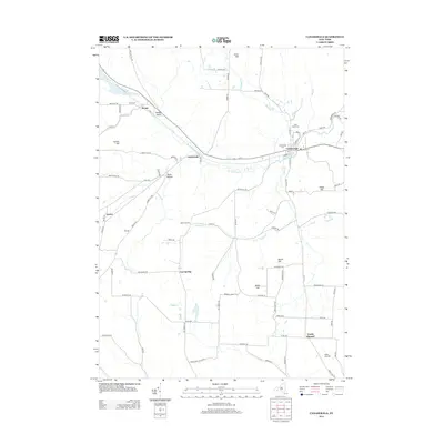
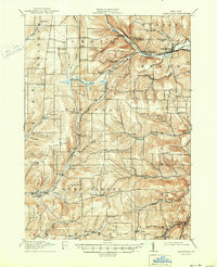
Editions of this 1916 Canaseraga Map
4 editions found
Historical Maps of Alfred Through Time
8 maps found