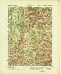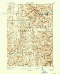
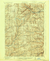
1916 Map of Canaseraga
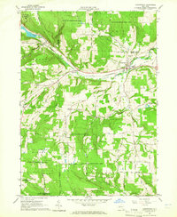
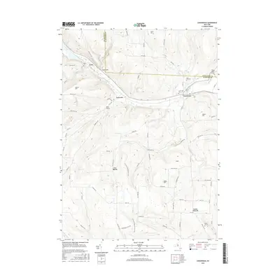
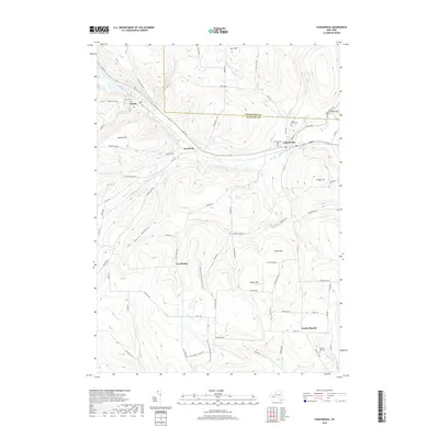
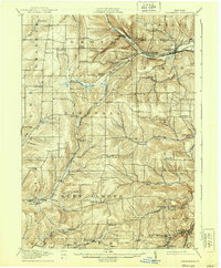
USGS Topo · Published 1950About this map
The Pittsburgh Shawmut and Northern RR and the Erie RR converge in the northeastern corner of this survey, defining the industrial and transit corridor near Canaseraga and Whitney Crossings Garwoods Sta. This region of western New York is characterized by a dense network of district schools, ranging from the uniquely named Thornbury School and New Michigan School to numerous numbered schoolhouses that reflect the rural population's distribution before mid-century consolidation. The landscape is deeply carved by watercourses like Canaseraga Creek and the Canisteo River, with agricultural life centered around small hamlets such as Birdsall, West Almond, and Karrdale. A notable civic landmark, the County House, stands near Angelica, while smaller corners like Tinkertown and Gas Spring provide specific points of interest for genealogists tracing ancestral homesteads in these narrow valleys.
Find a feature on this map
67 named features on this map. Tap any name to fly to it.
Don’t see what you’re looking for? This feature index may not catch every label — zoom into the map to look around manually.
Map Details
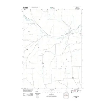
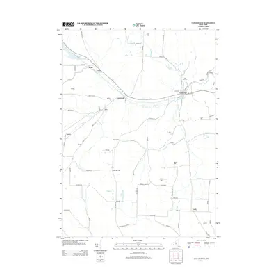
Editions of this 1916 Canaseraga Map
4 editions found
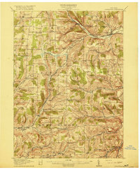
Historical Maps of Alfred Through Time
8 maps found