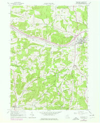
1965 Map of Friendship
USGS Topo · Published 1978About this map
Friendship serves as a hub of activity in this 1960s Allegany County landscape, where the Conrail line follows the winding course of Van Campen Cr and Tannery Creek. The terrain is defined by significant ridges like Jackson Hill and Beebe Hill, separated by narrow valleys and geographic passages such as Clarksville Notch and West Notch. Numerous Oil Wells are scattered across the southern townships, particularly around Wirt and West Clarksville, signaling the area's long-standing connection to local resource extraction. Rural life is anchored by established community sites including Sacred Heart Cem and Utopia Cem, while the presence of an Old Railroad Grade near Nile marks the evolution of the local transportation network. This survey, updated with late-1970s land use data, preserves the footprint of small settlements and the dense network of family-named roads like Stowell Road and Pangburn Road.
Find a feature on this map
58 named features on this map. Tap any name to fly to it.
Don’t see what you’re looking for? This feature index may not catch every label — zoom into the map to look around manually.
Map Details
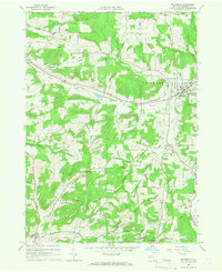
Editions of this 1965 Friendship Map
2 editions found
Other maps of this area

1898 · Olean
USGS Topo · 1:62,500

1906 · Angelica
USGS Topo · 1:62,500

1924 · Franklinville
USGS Topo · 1:62,500

1925 · Belmont
USGS Topo · 1:62,500

1938 · Olean
USGS Topo · 1:62,500

1939 · Belmont
USGS Topo · 1:62,500

1941 · Angelica
USGS Topo · 1:62,500

1942 · Franklinville
USGS Topo · 1:62,500

1943 · Olean
USGS Topo · 1:62,500

1960 · Buffalo
USGS Topo · 1:250,000