1943 Map of Olean
USGS Topo · Published 1943About this map
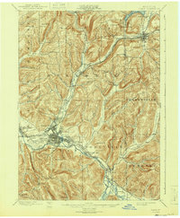
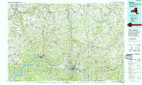
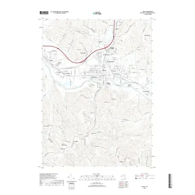
Olean sits at the confluence of the Allegheny River and Olean Creek, serving as a primary hub for the region's early industrial and transport networks. Based on surveys from 1896, the map details a landscape deeply connected by competing rail lines, including the Erie R.R. and the Western New York and Pennsylvania R.R., which follow the winding river valleys. The presence of numerous Oil Tanks near the city and the proximity of the Oil Spring Indian Reservation highlight the era's focus on petroleum extraction and territory. To the south, high points like Mt. Herman and geological formations such as Rock City and Flatiron Rock define the rugged southern hills, while the village of Cuba anchors the northern extent near the recreational waters of Cuba Lake.
Find a feature on this map
73 named features on this map. Tap any name to fly to it.
Don’t see what you’re looking for? This feature index may not catch every label — zoom into the map to look around manually.
Map Details
Editions of this 1943 Olean Map
This is the sole edition of this map. No revisions or reprints were ever made.
Historical Maps of Olean Through Time
10 maps found
1898 Olean
Cattaraugus County, NY
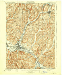
1938 Olean
Cattaraugus County, NY
1943 Olean
Cattaraugus County, NY
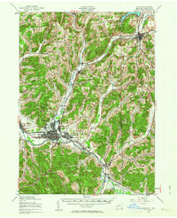
1961 Olean
Cattaraugus County, NY
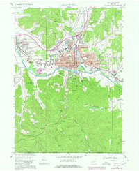
1986 Olean
Cattaraugus County, NY
2010 Olean
Cattaraugus County, NY
2013 Olean
Cattaraugus County, NY
2016 Olean
Cattaraugus County, NY
2019 Olean
Cattaraugus County, NY

2023 Olean
Cattaraugus County, NY