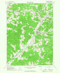
1965 Map of Bolivar
USGS Topo · Published 1967About this map
Bolivar and Richburg anchor this mid-1960s topographic study of southwestern Allegany County, where the landscape is defined by a dense network of petroleum extraction and rural crossroads. Hundreds of gas and oil wells dot the hillsides between Messer Hill and Jordan Hill, illustrating the region's long-standing reliance on the energy industry. The valley floors trace the path of the Pittsburgh Shawmut and Northern Railroad, which follows the route of Little Genesee Creek through settlements like Little Genesee and Bowler. Local genealogy and land use are well-documented here, with several burial grounds including St Marys Cem and Maple Lawn Cem near the Bolivar village limits. The terrain is marked by numerous named hollows, such as Coon Hollow Creek and Sanford Hollow, which break up the high ground between the township lines of Wirt and Genesee.
Find a feature on this map
57 named features on this map. Tap any name to fly to it.
Don’t see what you’re looking for? This feature index may not catch every label — zoom into the map to look around manually.
Map Details
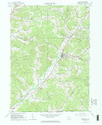
Editions of this 1965 Bolivar Map
2 editions found
Other maps of this area

1898 · Olean
USGS Topo · 1:62,500

1925 · Belmont
USGS Topo · 1:62,500

1933 · Smethport
USGS Topo · 1:62,500

1934 · Coudersport
USGS Topo · 1:48,000

1937 · Smethport
USGS Topo · 1:62,500

1938 · Coudersport
USGS Topo · 1:62,500

1938 · Olean
USGS Topo · 1:62,500

1939 · Belmont
USGS Topo · 1:62,500

1943 · Olean
USGS Topo · 1:62,500

1957 · Warren
USGS Topo · 1:250,000