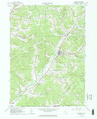
1965 Map of Bolivar
USGS Topo · Published 1967About this map
Oil Wells dot the landscape of Allegany County in the mid-1960s, concentrated heavily around the settlements of Bolivar and Richburg. This territory at the New York and Pennsylvania border is defined by a dense network of industrial activity and narrow valleys, where the Wellsville Addison and Galeton RR and the Erie Lackawanna RR navigate the winding paths of Little Genesee Creek and Dodge Creek. The map serves as a vital record for genealogists, marking local resting places like St Marys Cem and Maple Lawn Cem, alongside family-named terrain such as Jordan Hill and Barber Hollow. From the village of Little Genesee to the hunting grounds of the Bellefe Acres Hunt Club, the area shows a complex transition from high-density drilling sites to rural hollows and brooks.
Find a feature on this map
58 named features on this map. Tap any name to fly to it.
Don’t see what you’re looking for? This feature index may not catch every label — zoom into the map to look around manually.
Map Details
Editions of this 1965 Bolivar Map
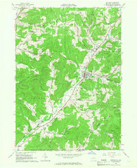
2 editions found
Other maps of this area

1898 · Olean
USGS Topo · 1:62,500

1925 · Belmont
USGS Topo · 1:62,500

1933 · Smethport
USGS Topo · 1:62,500

1934 · Coudersport
USGS Topo · 1:48,000

1937 · Smethport
USGS Topo · 1:62,500

1938 · Coudersport
USGS Topo · 1:62,500

1938 · Olean
USGS Topo · 1:62,500

1939 · Belmont
USGS Topo · 1:62,500

1943 · Olean
USGS Topo · 1:62,500

1957 · Warren
USGS Topo · 1:250,000