
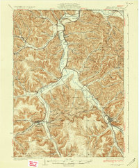
1937 Map of Smethport
USGS Topo · Published 1937About this map
Smethport and its neighboring valleys in McKean County reveal a landscape shaped by narrow-gauge history and industrial transition during the mid-1930s. The Allegheny River and Potato Creek dominate the drainage system, while a complex network of railroads, including the Pennsylvania and the Pittsburgh Shawmut and Northern, connects the valley settlements. This period shows a mature rural infrastructure, characterized by numerous small schoolhouses like Lower Kings Run Sch and Annin Creek Sch serving isolated hollows.
Find a feature on this map
63 named features on this map. Tap any name to fly to it.
Don’t see what you’re looking for? This feature index may not catch every label — zoom into the map to look around manually.
Map Details
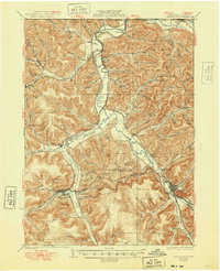
Editions of this 1937 Smethport Map
3 editions found
Other maps of this area

1898 · Olean
USGS Topo · 1:62,500

1900 · Salamanca
USGS Topo · 1:62,500

1924 · Bradford
USGS Topo · 1:62,500

1925 · Belmont
USGS Topo · 1:62,500

1926 · Bradford
USGS Topo · 1:62,500

1933 · Smethport
USGS Topo · 1:62,500

1934 · Coudersport
USGS Topo · 1:48,000

1935 · Mt. Jewett
USGS Topo · 1:48,000

1938 · Coudersport
USGS Topo · 1:62,500

1938 · Salamanca
USGS Topo · 1:62,500