Loading...
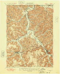
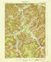
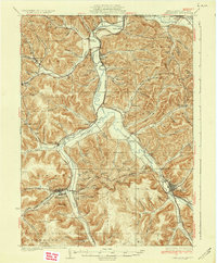
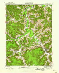
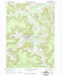
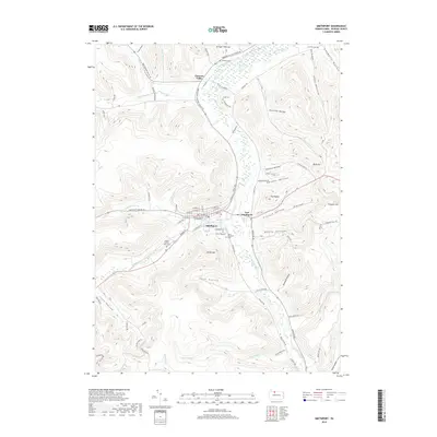
Loading map...1937 Map of Smethport
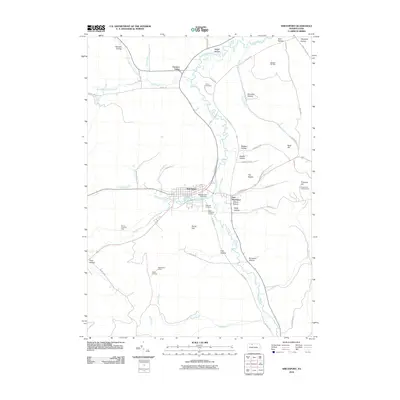
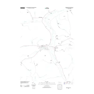
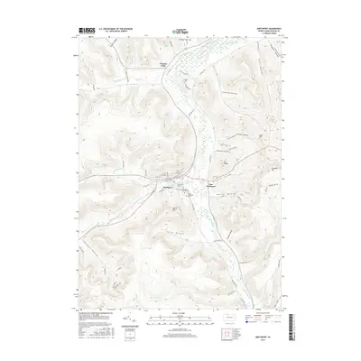
USGS Topo · Published 1948About this map
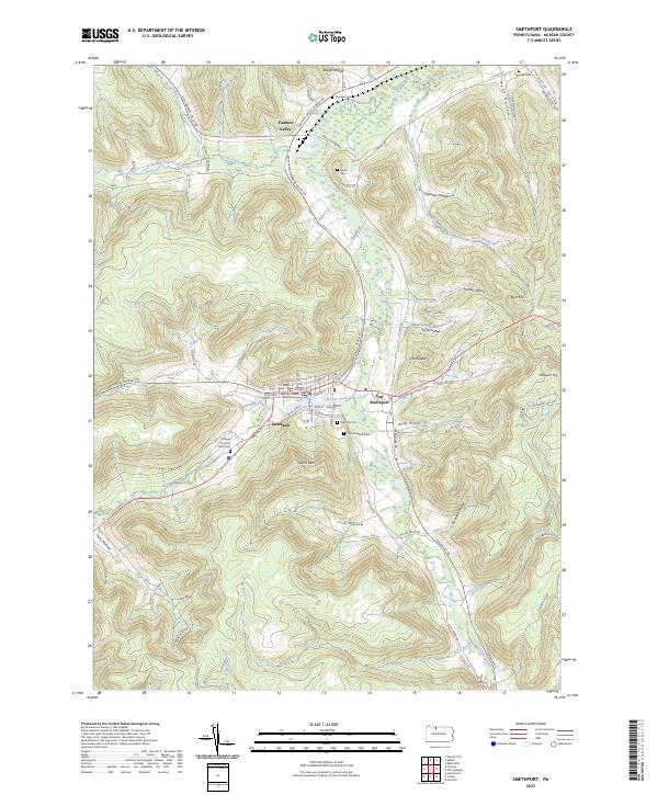
The Allegheny River and Potato Creek carve through the deep hollows of McKean County in this 1930s topographical study. The landscape is defined by its industrial and transport corridors, notably the Pittsburgh Shawmut and Northern RR and the Coudersport & Port Allegany RR, which linked these narrow valleys to broader markets. High points like Looker Mountain and The Nipple overlook a network of small settlements and educational outposts such as Bush Hill Sch and Annin Creek Sch.
Find a feature on this map
119 named features on this map. Tap any name to fly to it.
Don’t see what you’re looking for? This feature index may not catch every label — zoom into the map to look around manually.
Map Details
Date Portrayed1937
Date Published1948
PublisherU.S. Geological Survey
Map TypeTopographic
Scale1:62,500
Physical Dimensions17.1 x 21 inches
Editions of this 1937 Smethport Map
3 editions found
Historical Maps of Allegany Through Time
8 maps found
Featured Locations
Source Details
SourceU.S. Geological Survey
CopyrightPublic Domain