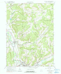
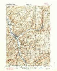
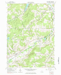
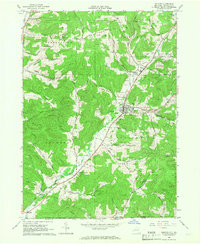
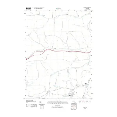
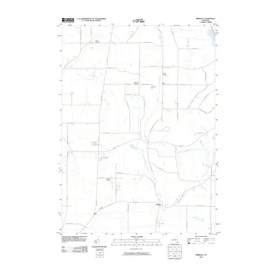
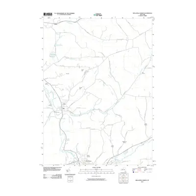
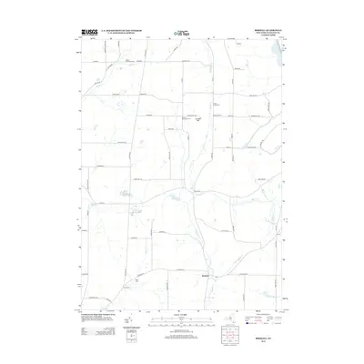
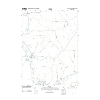
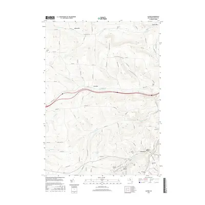
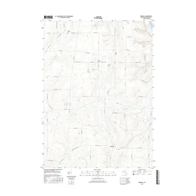
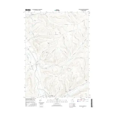
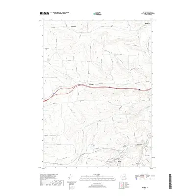
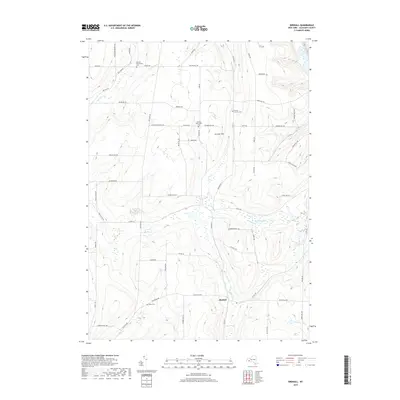
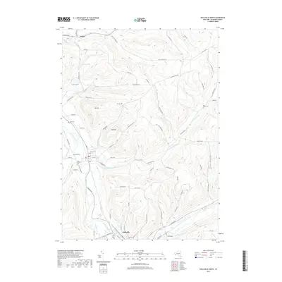
1965 Map of Wellsville North
USGS Topo · Published 1990About this map
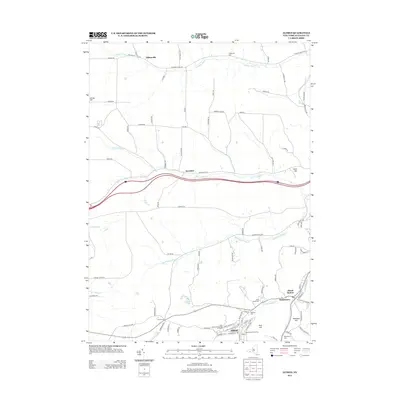
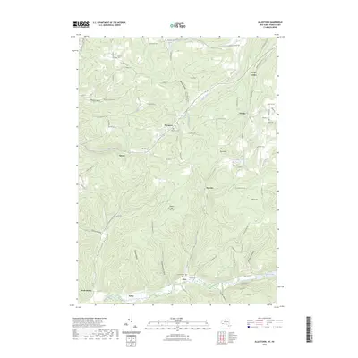
The Genesee River valley anchors this mid-1960s study of Allegany County, where the Erie Lackawanna railroad follows the water's edge through the village of Scio. The landscape is defined by a mix of early industry and conservation, featuring active Oil Wells and a sprawling State Reforestation Area that covers much of the high ground in Amity, Ward, and Andover. Genealogists will find notable burial sites including Fairlawn Cem and Palmer Cem near the river, while the small settlement of Withey sits to the northwest near Amity Lake. The southern portion of the map transitions into the northern reaches of Wellsville, showing the Wellsville Municipal Airport and the junction where Dyke Creek meets the river. Numerous family-named peaks, such as Buck Farm Hill and Mulligan Hill, highlight the traditional agricultural and timber tracts of the era.
Find a feature on this map
72 named features on this map. Tap any name to fly to it.
Don’t see what you’re looking for? This feature index may not catch every label — zoom into the map to look around manually.
Map Details
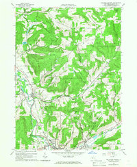
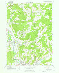
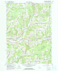
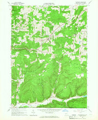
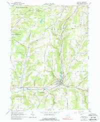
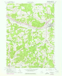
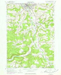
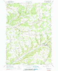
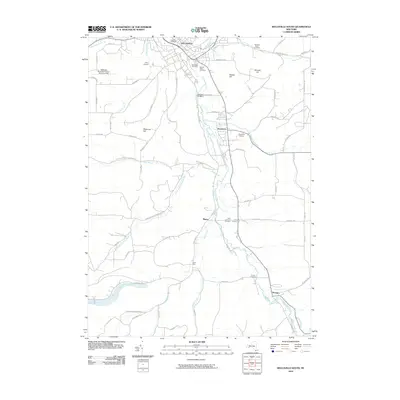
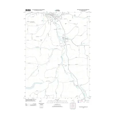
Editions of this 1965 Wellsville North Map
3 editions found
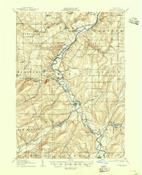
Historical Maps of Wellsville Through Time
75 maps found
1906 Angelica
Allegany County, NY
1926 Wellsville
Allegany County, NY

1941 Angelica
Allegany County, NY
1964 Alfred
Allegany County, NY
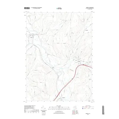
1964 Angelica
Allegany County, NY
1964 Birdsall
Allegany County, NY
1964 Black Creek
Allegany County, NY
1964 West Almond
Allegany County, NY
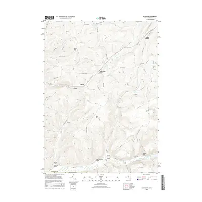
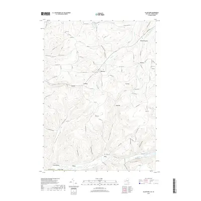
1965 Allentown
Allegany County, NY
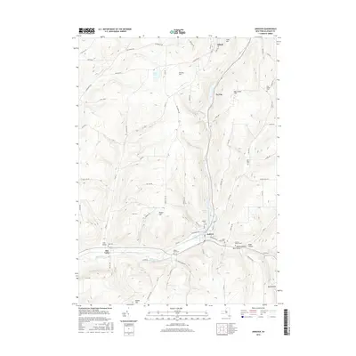
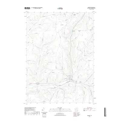
1965 Andover
Allegany County, NY
1965 Bolivar
Allegany County, NY
1965 Friendship
Allegany County, NY
1965 Wellsville North
Allegany County, NY
1965 Wellsville South
Allegany County, NY
1965 Whitesville
Allegany County, NY
2010 Alfred
Allegany County, NY
2010 Allentown
Allegany County, NY
2010 Andover
Allegany County, NY
2010 Angelica
Allegany County, NY
2010 Birdsall
Allegany County, NY
2010 Black Creek
Allegany County, NY
2010 Bolivar
Allegany County, NY
2010 Friendship
Allegany County, NY
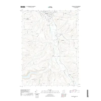
2010 Wellsville North
Allegany County, NY
2010 Wellsville South
Allegany County, NY
2010 West Almond
Allegany County, NY
2010 Whitesville
Allegany County, NY
2013 Alfred
Allegany County, NY
2013 Allentown
Allegany County, NY
2013 Andover
Allegany County, NY
2013 Angelica
Allegany County, NY
2013 Birdsall
Allegany County, NY
2013 Black Creek
Allegany County, NY
2013 Bolivar
Allegany County, NY
2013 Friendship
Allegany County, NY
2013 Wellsville North
Allegany County, NY
2013 Wellsville South
Allegany County, NY
2013 West Almond
Allegany County, NY
2013 Whitesville
Allegany County, NY
2016 Alfred
Allegany County, NY
2016 Allentown
Allegany County, NY
2016 Andover
Allegany County, NY
2016 Angelica
Allegany County, NY
2016 Birdsall
Allegany County, NY
2016 Black Creek
Allegany County, NY
2016 Bolivar
Allegany County, NY
2016 Friendship
Allegany County, NY
2016 Wellsville North
Allegany County, NY
2016 Wellsville South
Allegany County, NY
2016 West Almond
Allegany County, NY
2016 Whitesville
Allegany County, NY
2019 Alfred
Allegany County, NY
2019 Allentown
Allegany County, NY
2019 Andover
Allegany County, NY
2019 Angelica
Allegany County, NY
2019 Birdsall
Allegany County, NY
2019 Black Creek
Allegany County, NY
2019 Bolivar
Allegany County, NY
2019 Friendship
Allegany County, NY
2019 Wellsville North
Allegany County, NY
2019 Wellsville South
Allegany County, NY
2019 West Almond
Allegany County, NY
2019 Whitesville
Allegany County, NY

2023 Alfred
Allegany County, NY
2023 Allentown
Allegany County, NY

2023 Andover
Allegany County, NY

2023 Angelica
Allegany County, NY

2023 Birdsall
Allegany County, NY

2023 Black Creek
Allegany County, NY

2023 Bolivar
Allegany County, NY

2023 Friendship
Allegany County, NY

2023 Wellsville North
Allegany County, NY

2023 Wellsville South
Allegany County, NY

2023 West Almond
Allegany County, NY

2023 Whitesville
Allegany County, NY