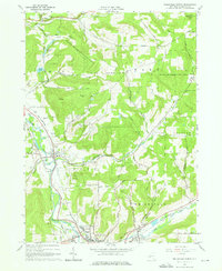
1965 Map of Wellsville North
USGS Topo · Published 1976About this map
The Genesee River carves a central valley through this mid-1960s landscape, flanked by the industrial and agricultural activity of northern Allegany County. This area is defined by the heavy footprint of the Erie Lackawanna railroad, which follows the riverbank to connect the settlements of Scio and Wellsville. The uplands are marked by an extensive Oil Field network and the wide reach of the State Reforestation Area, illustrating the transition from resource extraction to managed land use. Local history is anchored by several rural burying grounds including Fairlawn Cem and Rogers Cem, alongside community landmarks like St Josephs Ch and the Central Sch. From the Wellsville Municipal Airport in the south to the small hamlet of Withey in the north, the map preserves a detailed record of the region’s mid-century transportation and energy infrastructure.
Find a feature on this map
55 named features on this map. Tap any name to fly to it.
Don’t see what you’re looking for? This feature index may not catch every label — zoom into the map to look around manually.
Map Details
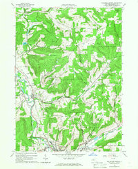
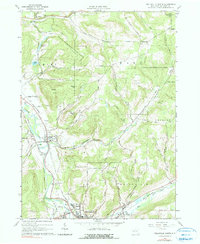
Editions of this 1965 Wellsville North Map
3 editions found
Other maps of this area

1906 · Angelica
USGS Topo · 1:62,500

1916 · Canaseraga
USGS Topo · 1:62,500

1925 · Belmont
USGS Topo · 1:62,500

1926 · Wellsville
USGS Topo · 1:62,500

1939 · Belmont
USGS Topo · 1:62,500

1940 · Canaseraga
USGS Topo · 1:62,500

1941 · Angelica
USGS Topo · 1:62,500

1950 · Elmira
USGS Topo · 1:250,000

1958 · Elmira
USGS Topo · 1:250,000

1960 · Buffalo
USGS Topo · 1:250,000