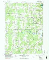
1964 Map of Birdsall
USGS Topo · Published 1984About this map
The town of Birdsall serves as a central point in this mid-1960s landscape, which is defined by an extensive State Reforestation Area and a network of rural homesteads and family-named roads. The map documents significant local history sites, including the German Settlement Grove Ch and its adjacent German Settlement Grove Cem, as well as the Weaver Settlement Cem. These locations, along with settlements like Brewer Corners, point to the area's 19th-century agricultural and immigrant roots.
Find a feature on this map
59 named features on this map. Tap any name to fly to it.
Don’t see what you’re looking for? This feature index may not catch every label — zoom into the map to look around manually.
Map Details
Editions of this 1964 Birdsall Map
2 editions found
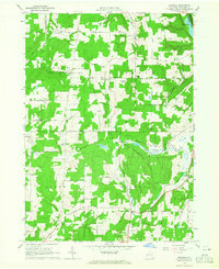
Other maps of this area

1905 · Portage
USGS Topo · 1:62,500

1905 · Nunda
USGS Topo · 1:62,500

1906 · Angelica
USGS Topo · 1:62,500

1916 · Canaseraga
USGS Topo · 1:62,500

1940 · Canaseraga
USGS Topo · 1:62,500

1941 · Angelica
USGS Topo · 1:62,500

1943 · Nunda
USGS Topo · 1:24,000

1943 · Ossian
USGS Topo · 1:24,000

1943 · Portageville
USGS Topo · 1:24,000
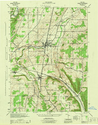
1944 · Nunda
USGS Topo · 1:31,680