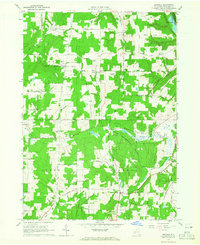
1964 Map of Birdsall
USGS Topo · Published 1965About this map
The State Reforestation Area dominates large portions of this landscape in Allegany County, where the transition from agricultural land use to public forest is clearly visible. Small nineteenth-century settlements and family-named hubs like Birdsall, Hiltonville, and Parker dot the township lines, often centered on historic intersections or water sources. The spiritual and communal heart of the German immigrant community is preserved in the German Settlement Grove Ch and the adjacent German Settlement Cem. Infrastructure for the era's transport is evident in the path of the Erie Railroad skirting the eastern edge near Centre, while the natural drainage of Keaney Swamp and Canaseraga Creek defines the local topography. This survey provides a precise record of the upland road network, including family-named routes like Schafer Cross Road and Weaver Settlement Road, many of which served isolated homesteads and cemeteries.
Find a feature on this map
62 named features on this map. Tap any name to fly to it.
Don’t see what you’re looking for? This feature index may not catch every label — zoom into the map to look around manually.
Map Details
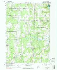
Editions of this 1964 Birdsall Map
2 editions found
Other maps of this area

1905 · Portage
USGS Topo · 1:62,500

1905 · Nunda
USGS Topo · 1:62,500

1906 · Angelica
USGS Topo · 1:62,500

1916 · Canaseraga
USGS Topo · 1:62,500

1940 · Canaseraga
USGS Topo · 1:62,500

1941 · Angelica
USGS Topo · 1:62,500

1943 · Nunda
USGS Topo · 1:24,000

1943 · Ossian
USGS Topo · 1:24,000

1943 · Portageville
USGS Topo · 1:24,000
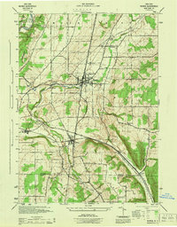
1944 · Nunda
USGS Topo · 1:31,680