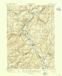
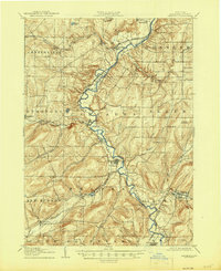
1906 Map of Angelica
USGS Topo · Published 1945About this map
The Genesee River serves as the central artery for this Allegany County landscape, winding northward through a series of established valley settlements. The terrain is characterized by the complex drainage of numerous tributaries, including Rush Creek and Caneadea Creek, which carve into the surrounding uplands. Local transportation in the early 20th century was defined by competing rail lines, with the Pennsylvania RR following the river bench while the Pittsburgh Shawmut and Northern RR traverses the southeastern corner through Angelica.
Find a feature on this map
49 named features on this map. Tap any name to fly to it.
Don’t see what you’re looking for? This feature index may not catch every label — zoom into the map to look around manually.
Map Details
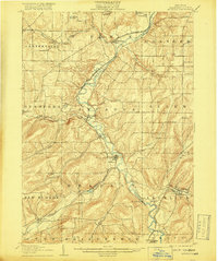
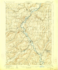
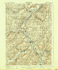
Editions of this 1906 Angelica Map
6 editions found
Other maps of this area

1898 · Olean
USGS Topo · 1:62,500

1905 · Portage
USGS Topo · 1:62,500

1905 · Nunda
USGS Topo · 1:62,500

1906 · Angelica
USGS Topo · 1:62,500

1916 · Canaseraga
USGS Topo · 1:62,500

1923 · Arcade
USGS Topo · 1:62,500

1924 · Franklinville
USGS Topo · 1:62,500

1925 · Belmont
USGS Topo · 1:62,500

1925 · Arcade
USGS Topo · 1:62,500

1926 · Wellsville
USGS Topo · 1:62,500