
1925 Map of Arcade
USGS Topo · Published 1925About this map
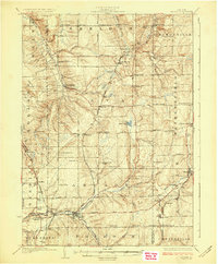
Java Village and Strykersville anchor this mid-1920s survey of Wyoming County, where a dense network of district schools and family-named corners defines the rural landscape. The topography is shaped by the descent of Beaver Meadow Creek and the Cattaraugus Creek valley, with the landmark Angel Falls positioned just west of the Java township line. Three distinct railroad lines—the Pennsylvania, Arcade and Attica, and Buffalo Rochester and Pittsburgh—crisscross the southern and western portions of the quadrangle, serving local industry and transit points like North Java Sta and Chaffee. Notable for its high concentration of labeled rural schools, such as Klein School and Goff School, the map also identifies historic social hubs like Cheery Tavern and small crossroads like Punkshers Corners, providing a detailed look at the settlement patterns of western New York before mid-century modernization.
Find a feature on this map
82 named features on this map. Tap any name to fly to it.
Don’t see what you’re looking for? This feature index may not catch every label — zoom into the map to look around manually.
Map Details
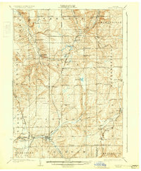
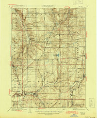
Editions of this 1925 Arcade Map
4 editions found
Other maps of this area

1904 · Batavia
USGS Topo · 1:62,500

1905 · Attica
USGS Topo · 1:62,500

1905 · Portage
USGS Topo · 1:62,500

1905 · Depew
USGS Topo · 1:62,500

1906 · Angelica
USGS Topo · 1:62,500

1923 · Arcade
USGS Topo · 1:62,500

1924 · Ellicottville
USGS Topo · 1:62,500

1924 · Franklinville
USGS Topo · 1:62,500

1925 · Springville
USGS Topo · 1:62,500

1941 · Angelica
USGS Topo · 1:62,500