
1904 Map of Batavia
USGS Topo · Published 1904About this map
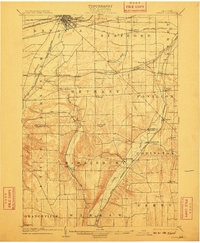
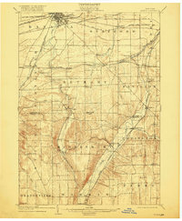
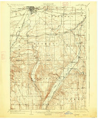
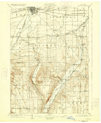
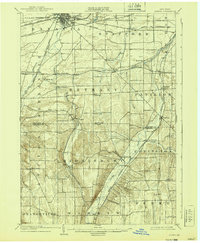
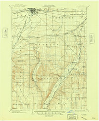
Batavia serves as the focal point for this early twentieth-century study of the Genesee and Wyoming County borderlands, where a complex network of iron rails defines the local economy. The landscape is marked by the convergence of major transit lines, including the N. Y. Cent. and Hudson Riv. R. R. and the Lehigh Valley, which cross the fertile valley floors. Settlement patterns follow the winding paths of Tonawanda Creek and Oatka Creek, with small agricultural hubs like Roanoke and East Bethany situated along these drainage systems. The map captures the region before the consolidation of rural services, showing distinct hamlets like Pearl Creek and Linden that functioned as essential social centers for the surrounding farmsteads. Significant topographical variation is evident near Burk Hill, contrasting with the more level terrain utilized for the extensive rail yards and industrial spurs near the city center.
Find a feature on this map
55 named features on this map. Tap any name to fly to it.
Don’t see what you’re looking for? This feature index may not catch every label — zoom into the map to look around manually.
Map Details
Editions of this 1904 Batavia Map
7 editions found
Other maps of this area

1897 · Albion
USGS Topo · 1:62,500

1897 · Medina
USGS Topo · 1:62,500

1899 · Brockport
USGS Topo · 1:62,500

1904 · Caledonia
USGS Topo · 1:62,500

1905 · Attica
USGS Topo · 1:62,500

1905 · Portage
USGS Topo · 1:62,500

1905 · Nunda
USGS Topo · 1:62,500

1923 · Arcade
USGS Topo · 1:62,500

1925 · Arcade
USGS Topo · 1:62,500

1935 · Churchville
USGS Topo · 1:24,000