
1899 Map of Brockport
USGS Topo · Published 1899About this map
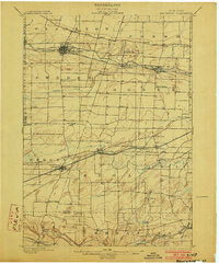
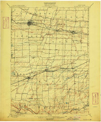
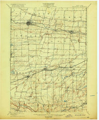
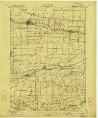
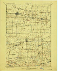
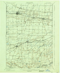
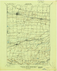
The Erie Canal and several major railroads define the late-nineteenth-century landscape of this region west of Rochester, carving industrial corridors through the fertile plains of Monroe and Genesee Counties. The northern half of the sheet is dominated by the canal's path, supporting bustling hubs like Spencerport, Adams Basin, and Brockport. Further south, the New York Central and Hudson River RR and the West Shore RR establish a parallel east-west transit network, facilitating the growth of villages such as Churchville and Bergen.
Find a feature on this map
64 named features on this map. Tap any name to fly to it.
Don’t see what you’re looking for? This feature index may not catch every label — zoom into the map to look around manually.
Map Details
Editions of this 1899 Brockport Map
8 editions found
Other maps of this area

1895 · Rochester
USGS Topo · 1:62,500

1895 · Ontario Beach
USGS Topo · 1:62,500

1897 · Albion
USGS Topo · 1:62,500

1897 · Oak Orchard
USGS Topo · 1:62,500

1898 · Rochester
USGS Topo · 1:62,500

1899 · Hamlin
USGS Topo · 1:62,500

1899 · Ontario Beach
USGS Topo · 1:62,500

1901 · Honeoye
USGS Topo · 1:62,500

1904 · Batavia
USGS Topo · 1:62,500

1904 · Caledonia
USGS Topo · 1:62,500