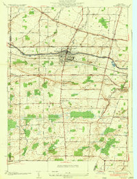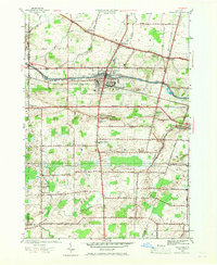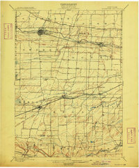
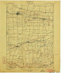
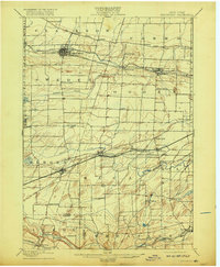
1899 Map of Brockport
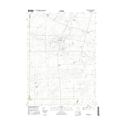
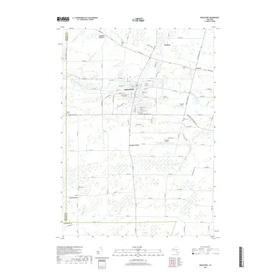
USGS Topo · Published 1909About this map
The Erie Canal forms a central artery through this late 19th-century landscape, threading through the growing industrial hubs of Brockport, Adams Basin, and Spencerport. This survey reveals the dense settlement patterns of Monroe County before modern suburban expansion, where local travel was dominated by the New York Central and Hudson River and the West Shore railroads. Small hamlets like Churchville and Bergen serve as focal points for the surrounding agricultural townships of Ogden and Riga. To the south, the landscape shifts near the Allen Creek and Black Creek watersheds, featuring the limestone-rich areas near Wheatland Center and Scottsville. Notable landmarks such as Stone Church and Fort Hill provide specific points of interest for those tracing rural heritage and the early rail-and-canal economy that transformed Western New York.
Find a feature on this map
60 named features on this map. Tap any name to fly to it.
Don’t see what you’re looking for? This feature index may not catch every label — zoom into the map to look around manually.
Map Details
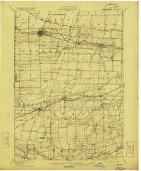
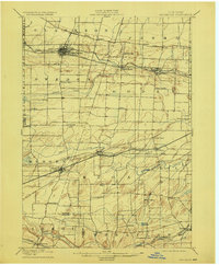
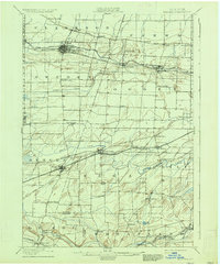
Editions of this 1899 Brockport Map
8 editions found


Historical Maps of Greece Through Time
8 maps found