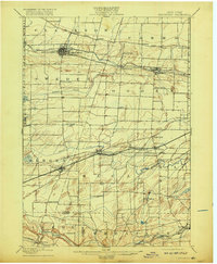
1899 Map of Brockport
USGS Topo · Published 1917About this map
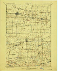
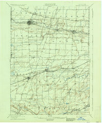
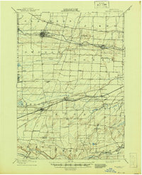
The Erie Canal anchors the northern industrial corridor of this Monroe County landscape, serving as a vital transport artery alongside the New York Central and Hudson River railroad. Settlements like Brockport and Spencerport show the dense development characteristic of nineteenth-century canal towns, while the southern portion of the sheet shifts toward a more rolling, rural agricultural pattern. Smaller hamlets such as North Chili, Churchville, and Bergen are linked by an intricate web of rail lines, including the Niagara Falls Line and the West Shore railroad.
Find a feature on this map
61 named features on this map. Tap any name to fly to it.
Don’t see what you’re looking for? This feature index may not catch every label — zoom into the map to look around manually.
Map Details
Editions of this 1899 Brockport Map
8 editions found
Other maps of this area

1895 · Rochester
USGS Topo · 1:62,500

1895 · Ontario Beach
USGS Topo · 1:62,500

1897 · Albion
USGS Topo · 1:62,500

1897 · Oak Orchard
USGS Topo · 1:62,500

1898 · Rochester
USGS Topo · 1:62,500

1899 · Hamlin
USGS Topo · 1:62,500

1899 · Ontario Beach
USGS Topo · 1:62,500

1899 · Brockport
USGS Topo · 1:62,500

1901 · Honeoye
USGS Topo · 1:62,500

1904 · Batavia
USGS Topo · 1:62,500